When booking a hunting trip online, guests unfamiliar with the location want to picture the terrain, the distances, and themselves out there, before they commit.
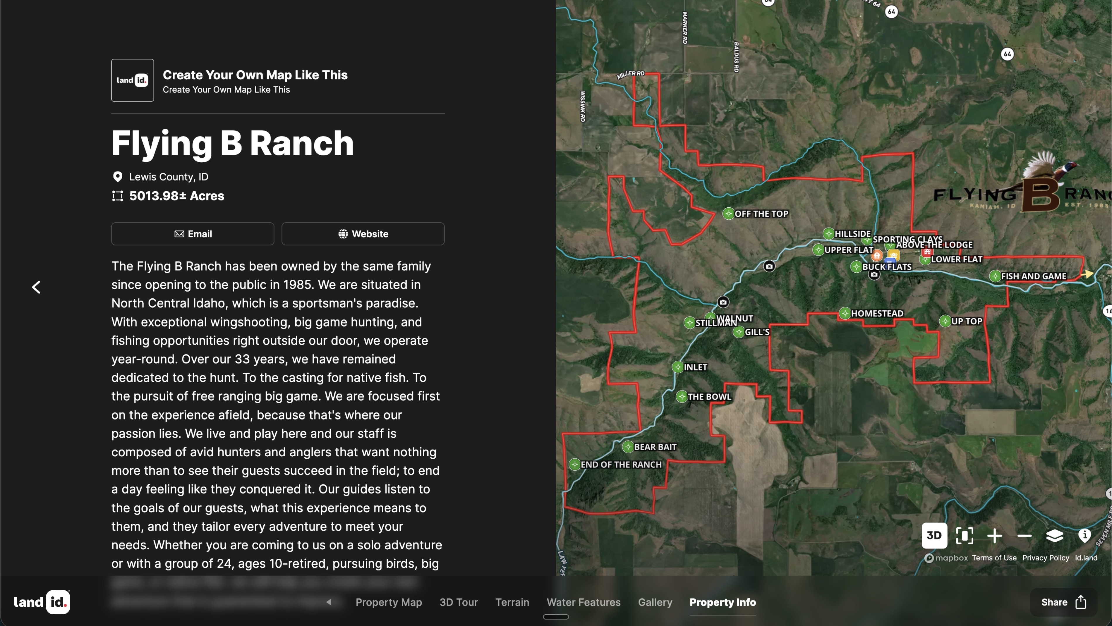
Flying B Ranch, a renowned hunting lodge in Kamiah, Idaho, hired Land id Mapping Services to help with that. The map is embedded on the lodge’s homepage at flyingbranch.com, so it's often the first thing a prospective guest sees.
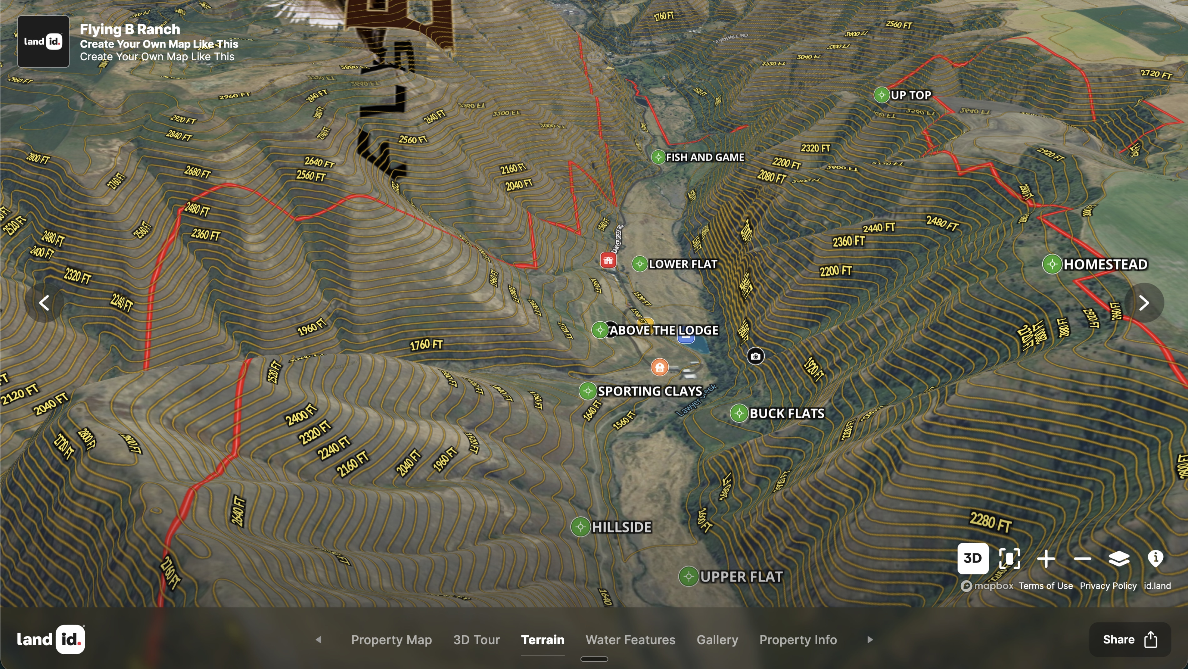
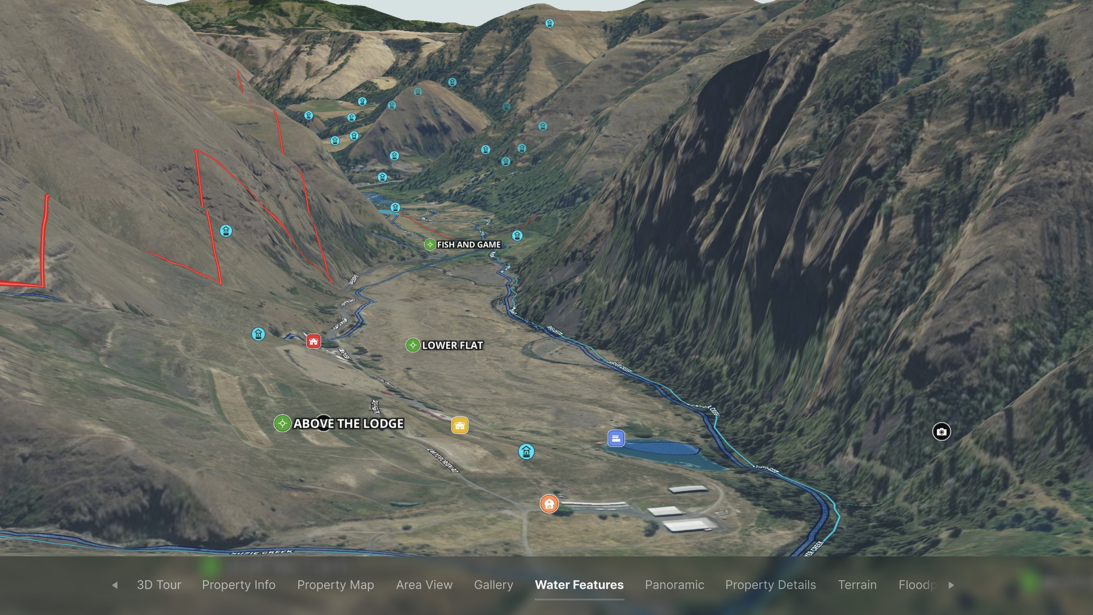
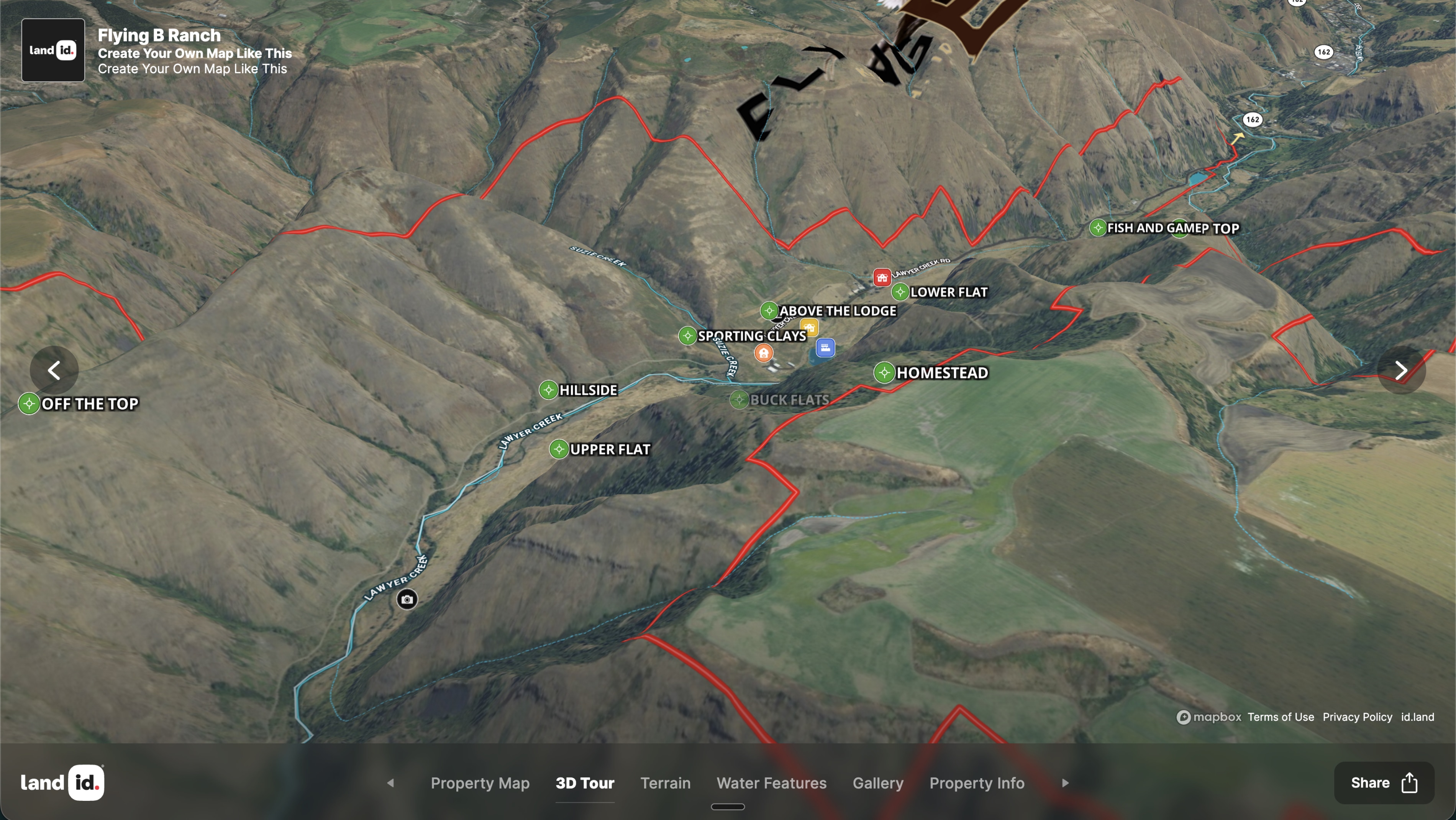
When the marketing team is booking a hunting excursion over the phone, they pull up the map and walk the client through the ground they'll be covering. The satellite aerial does what a description can't: closes the deal by helping a guest see and understand the adventure that awaits.
The map's second life is on the ranch itself. Flying B printed it on an aluminum sheet with a QR code linking to the interactive version and hung it on-site. Guides use the map to communicate where game is moving that week. New guests scan the code, see the area they've been assigned, and know what to expect before the adventure.
Flying B’s ranch management team is now exploring using the map for day-to-day operations, too: tracking seeding, prescribed burns, and aerial spraying across the property.
One map, three teams using it for unique goals: closing sales, guiding guests, and now ranch operations.
Learn How to Create a Project Like This
- Land id for Land Ownership & Management
- Quick start: Create and share a map in Land id
- Create detailed maps by adding items
- Add labels to maps and map items
- Embed photos, videos, 360-degree walkthroughs and more to maps
- Embed Land id maps or property tours onto your website
Take Your Mapping to the Next Level
Mapping is just the beginning. Land id is the #1 tool for researching, discovering, and showcasing land, and we're here to help you make the most of it, every step of the way.