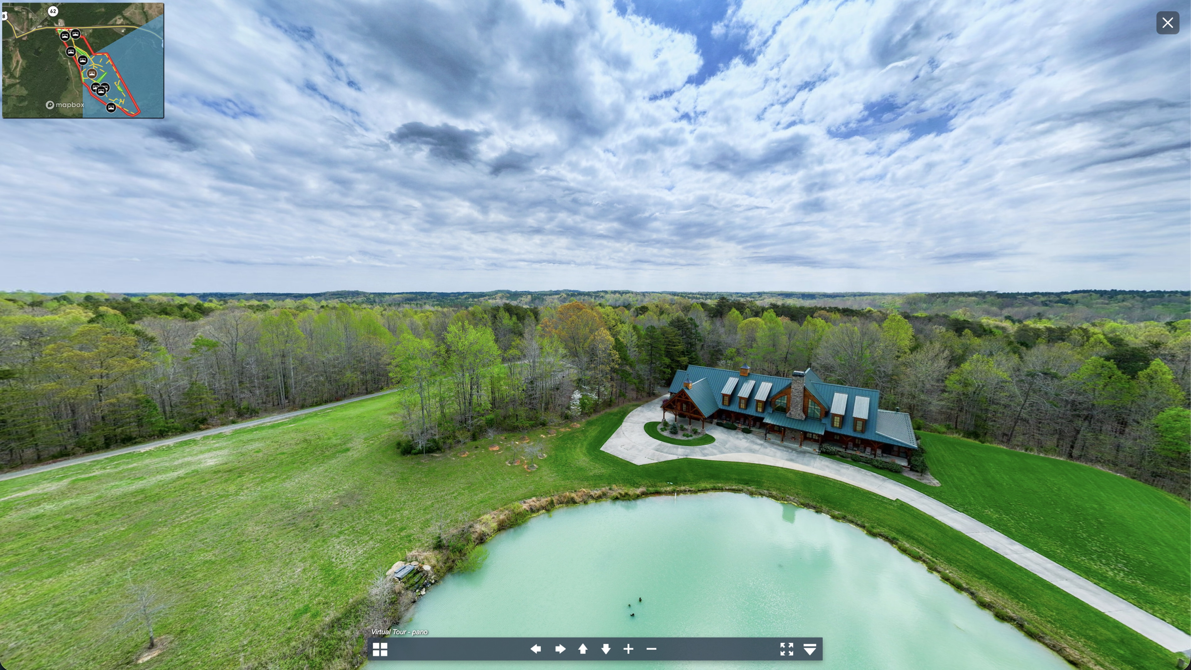
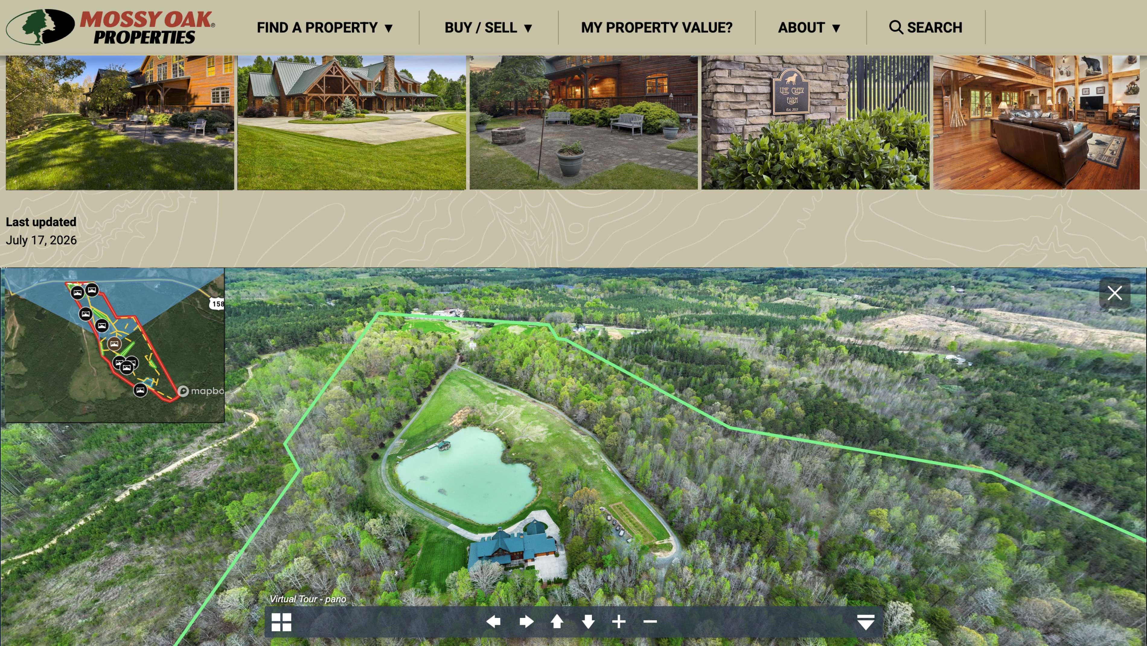
Sean Maloy ensures every one of his listings has the same, strong marketing representation, complete with professional photography, video, panoramic images and a map that ties it altogether. This consistent strategy is part of his brand.
"If a picture is worth a thousand words," Sean says, "a panoramic is worth a million and a video is worth a billion."
His approach to mapping is equally intentional. Sean gathers all of his media assets with the Land id map already in mind, then builds the listing map once everything comes together.
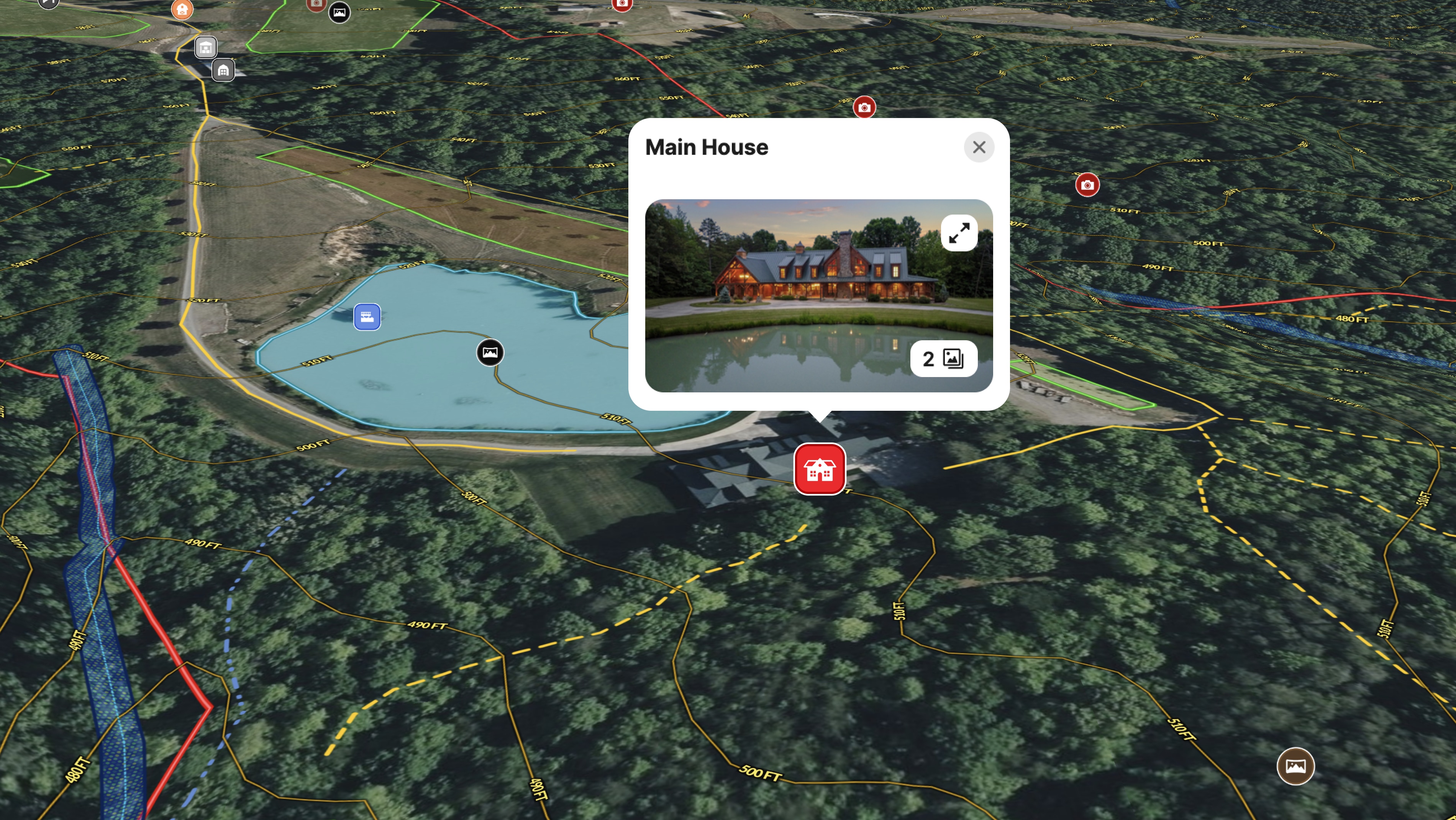
For Line Creek Farm, a luxury rural property in Caswell County, NC, the result is a richly layered interactive map embedded directly on the listing. Buyers can explore the boundary, identify buildings, follow the creek, toggle on FEMA Floodplain, Wetlands, and Surface Water overlays, and view contour lines within a single map. Photos and panoramic images are pinned directly to the land.
For out-of-state buyers evaluating a specialty rural property, that experience matters. Sean walks buyers through the map virtually until they understand the property as well as someone who walked it.
"The longer someone stays on the listing, the better your success rate," he says. "It helps people connect, especially on specialty properties for out-of-state buyers."
In competitive listing situations, Sean will tell prospective sellers to compare his listings with other agents' listings and see his level of commitment and thoroughness. Land id helps give him that edge.
Learn How to Create a Project Like This
- Land id for luxury real estate
- Land id for land and ranch agents
- Quick start: Create and share a map in Land id
- Draw detailed maps by adding items
- Embed photos, videos, 360 degree walkthroughs, and more to maps
- Contour lines overlay
- FEMA floodplain overlay
- Surface water overlay
- Wetlands overlay
- Add logo and contact information to shared maps
Take Your Mapping to the Next Level
Mapping is just the beginning. Land id is the #1 tool for researching, discovering, and showcasing land, and we're here to help you make the most of it, every step of the way.