A high-end waterfront listing in an HOA-gated community comes with layers of complexity that a standard photo set can't communicate: Which house is actually for sale? Which boat slips are included? How does the property relate to the surrounding nature preserve?
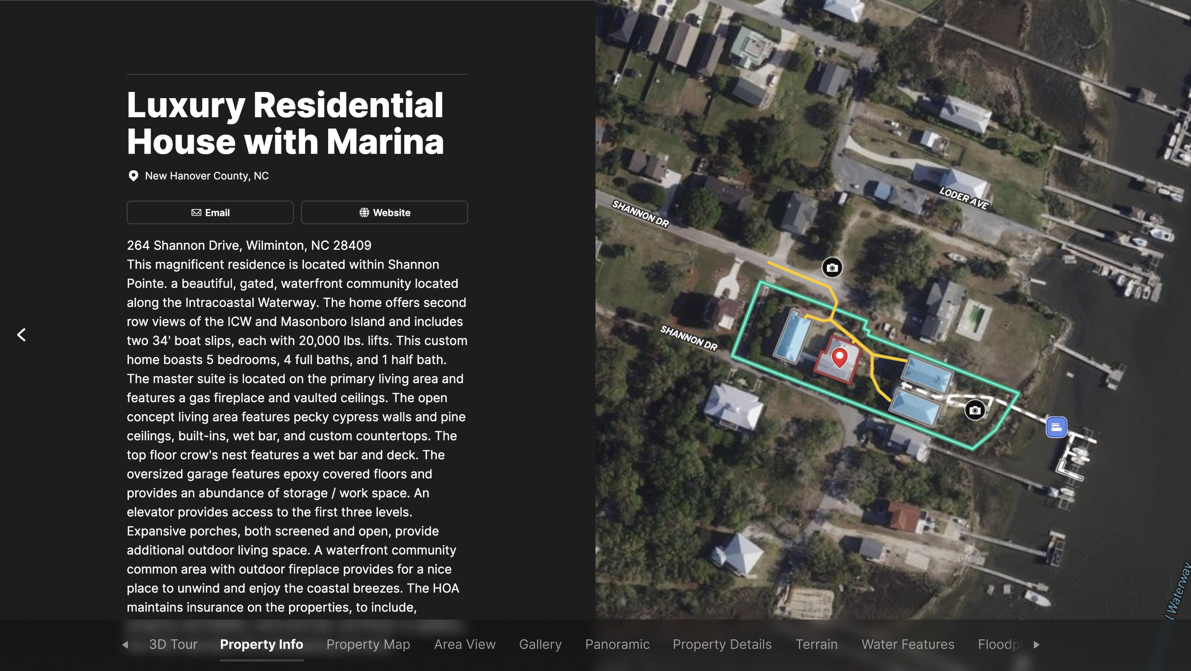
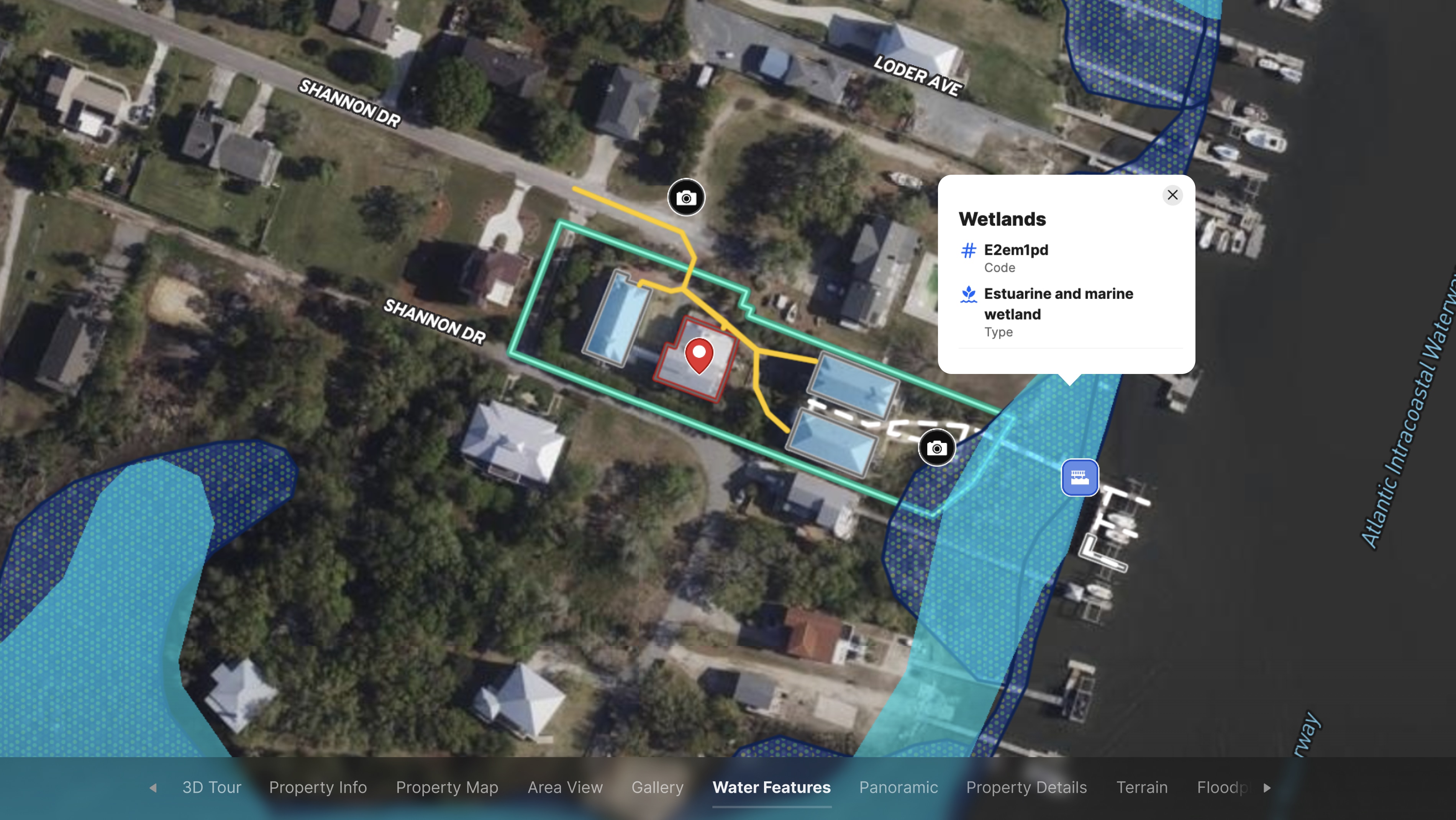
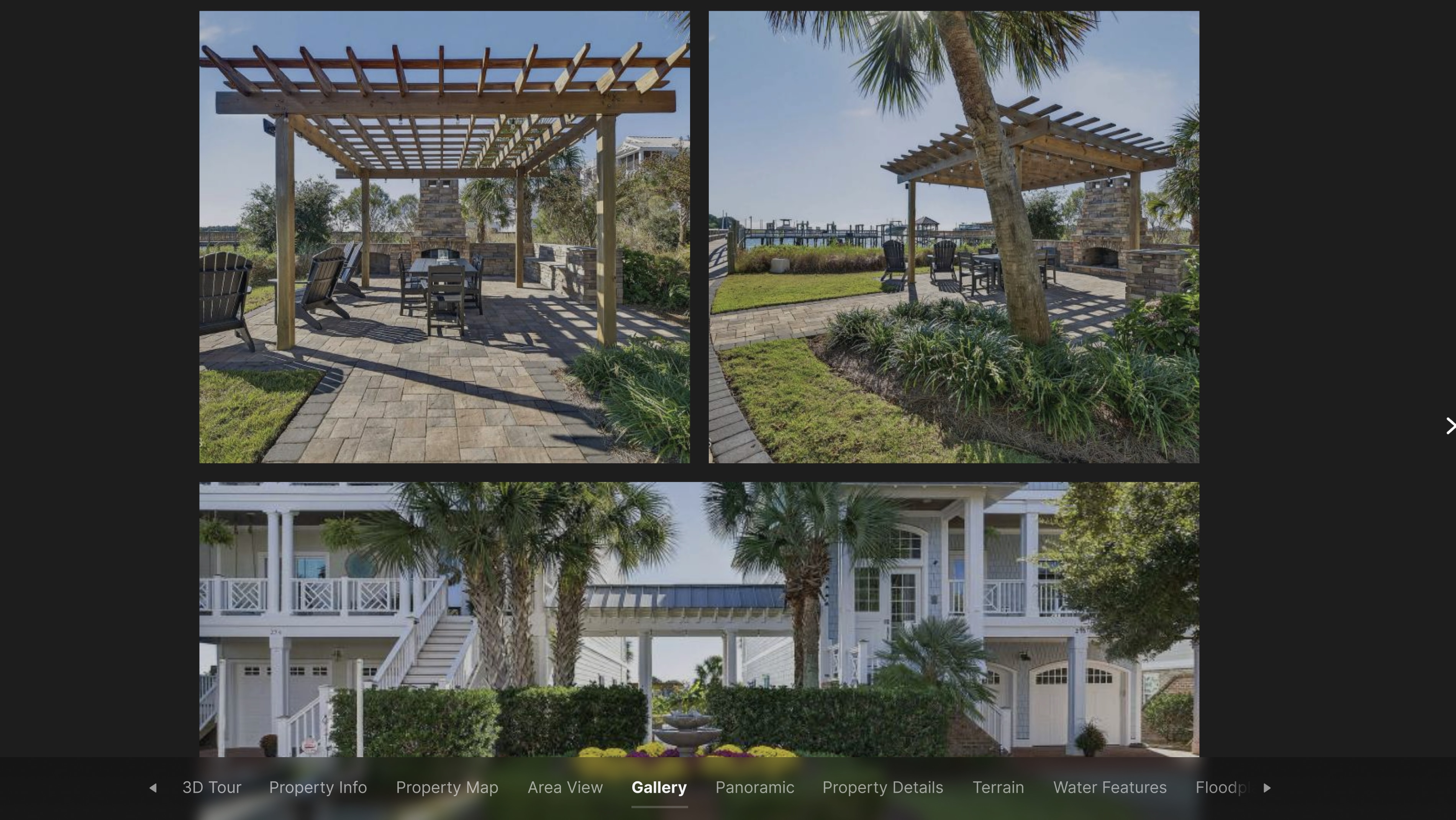
This Land id map answers all of those questions in a single interactive view. Built for a luxury residential property within a gated community on the water, the map clearly identifies the specific house for sale and the boat slips that convey with it—eliminating ambiguity for out-of-town buyers who haven't walked the property. Community amenities, including the garden area and fireplace, are marked and labeled so buyers understand exactly what ownership includes.
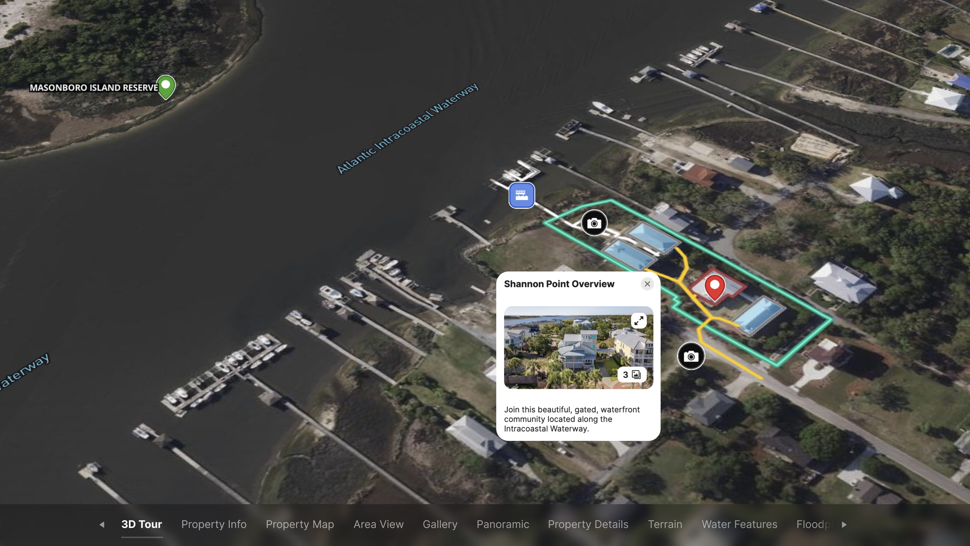
The map also highlights the property's proximity to Masonboro Island Reserve, one of the largest undeveloped barrier islands on the East Coast and a major draw for buyers who want natural surroundings alongside marina access. A Land id Property Tour links embedded photos and visual context at each point on the map, giving buyers a guided experience they can explore on their own time.
For luxury listings with multiple components—deeded amenities, community features, proximity to protected land—Land id gives agents a way to tell the full story of a property, not just show the square footage.
Learn How to Create a Project Like This
- Land id for luxury real estate
- Create, customize, and publish a Property Tour
- Create detailed maps by adding items
- Add labels to maps and map items
- Embed photos, videos, 360 degree walkthroughs and more to maps
Take Your Mapping to the Next Level
Mapping is just the beginning. Land id is the #1 tool for researching, discovering, and showcasing land, and we're here to help you make the most of it, every step of the way.