Buying into a rural development is an act of imagination. Buyers need to picture where their lot sits relative to natural features and surroundings.
A flat PDF plat can't do that. A Land id map can.
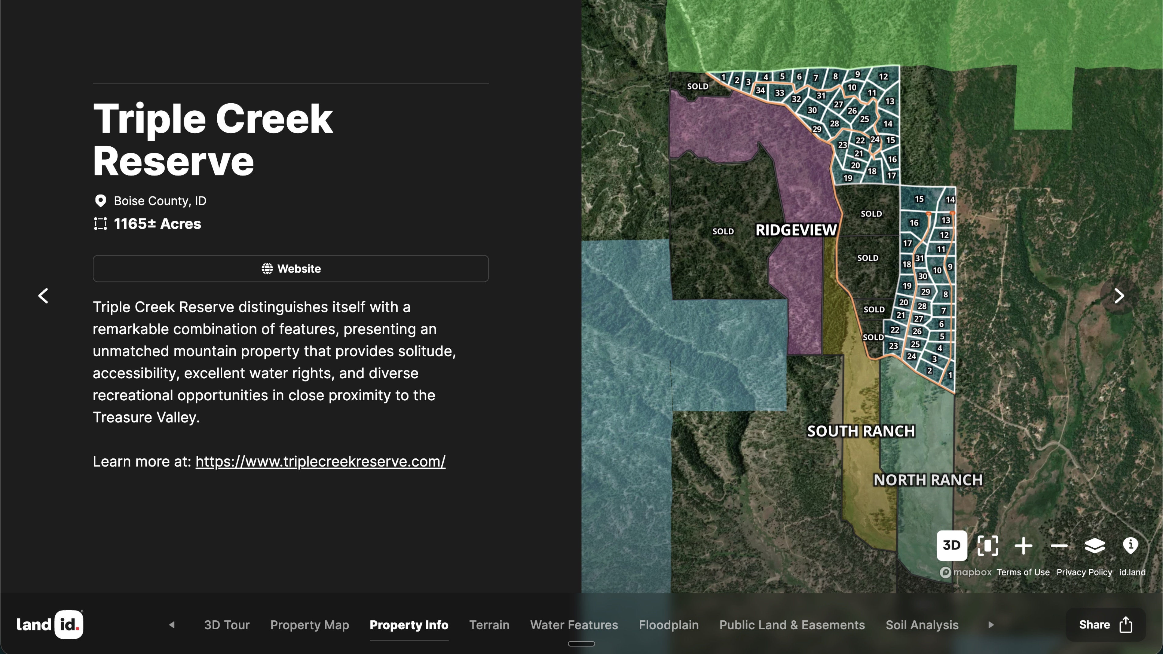
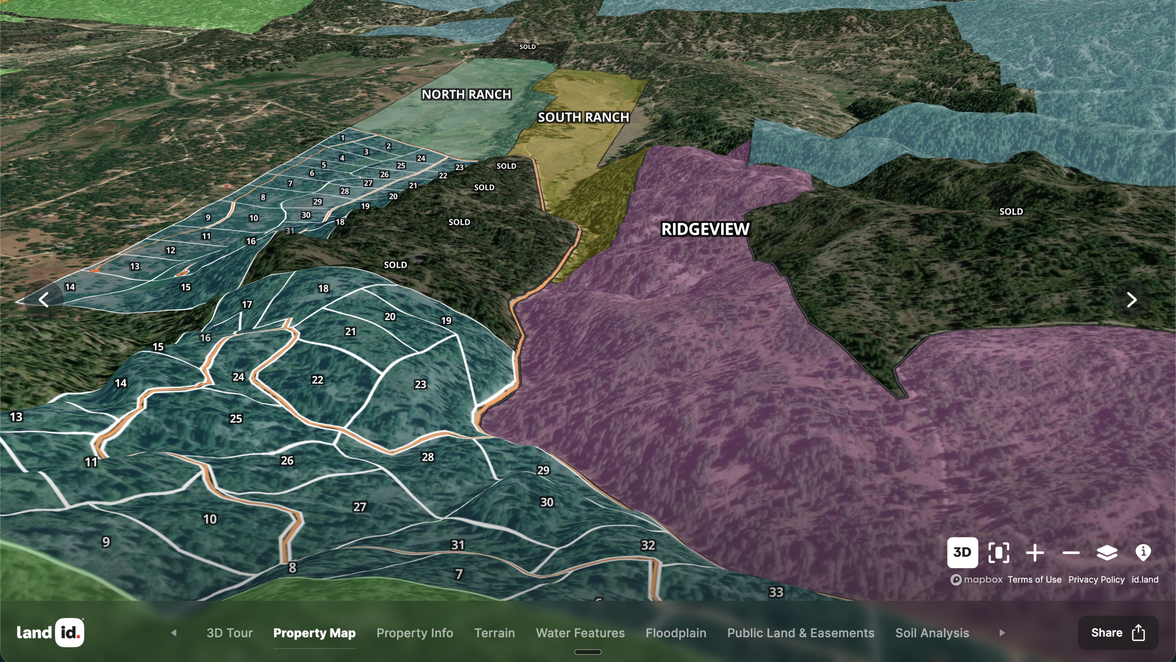
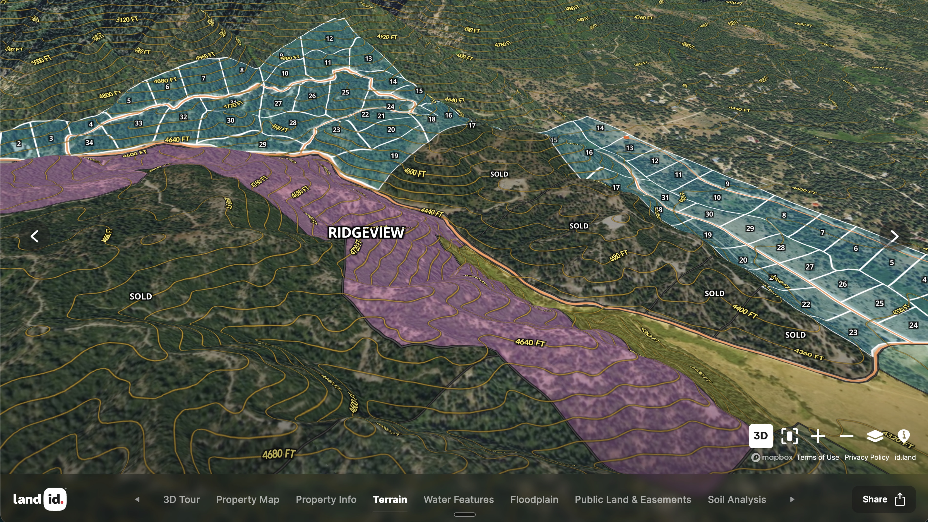
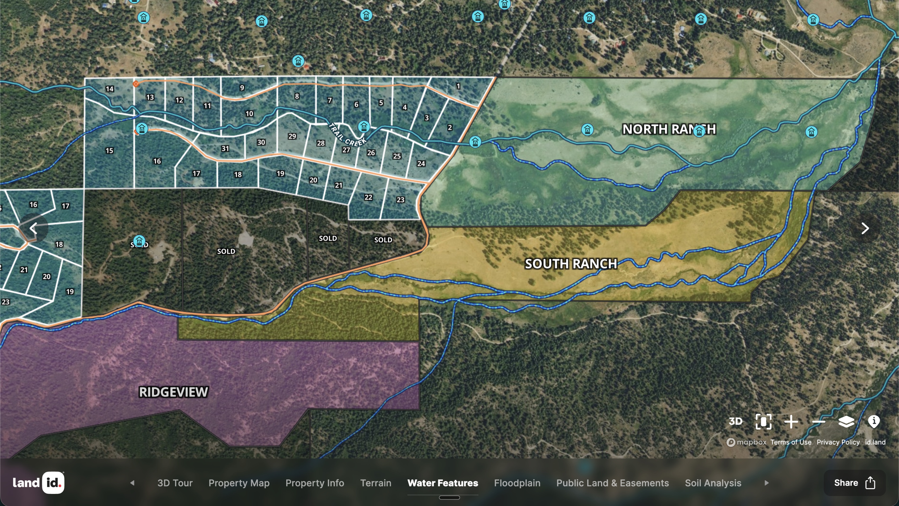
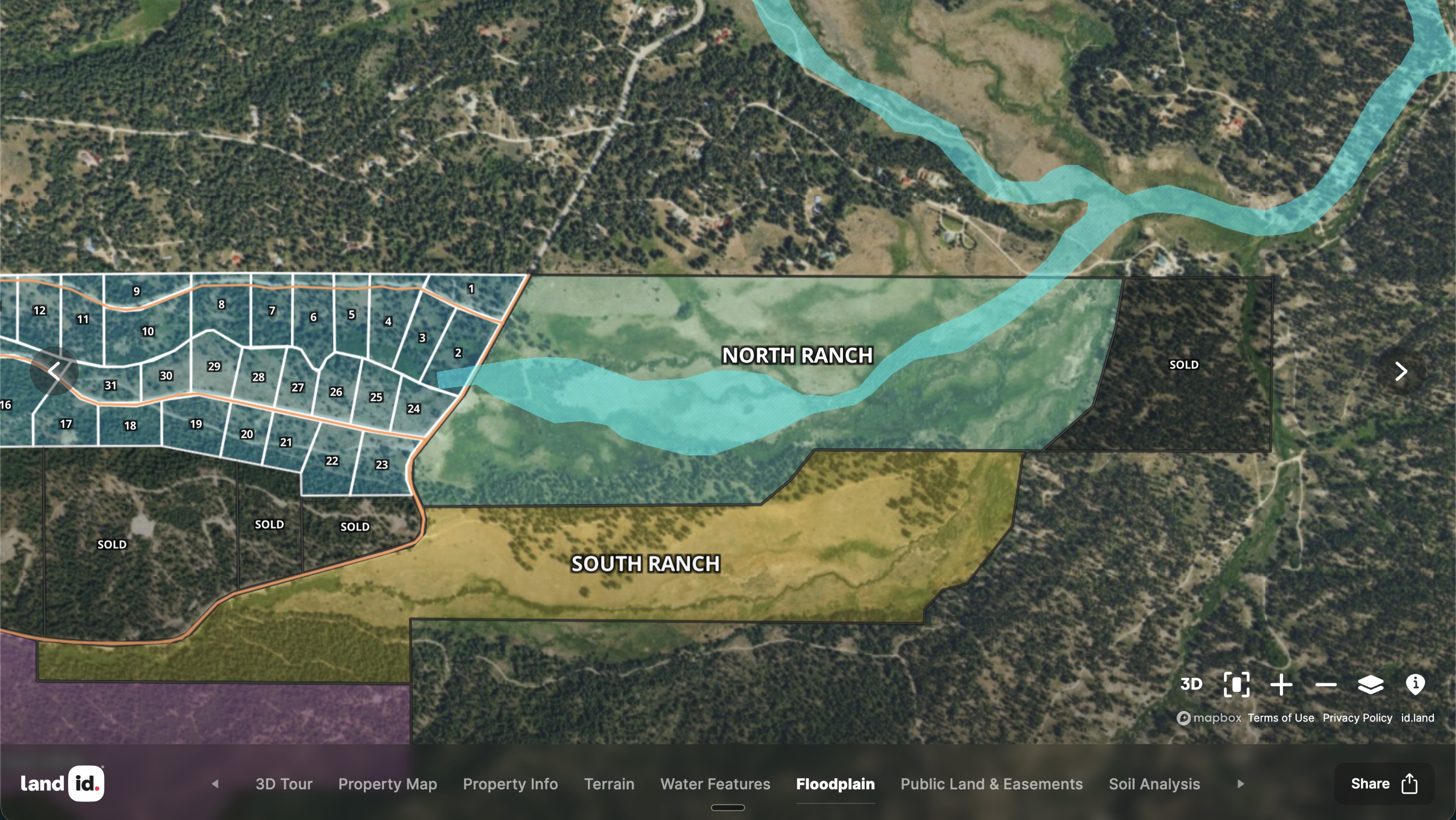
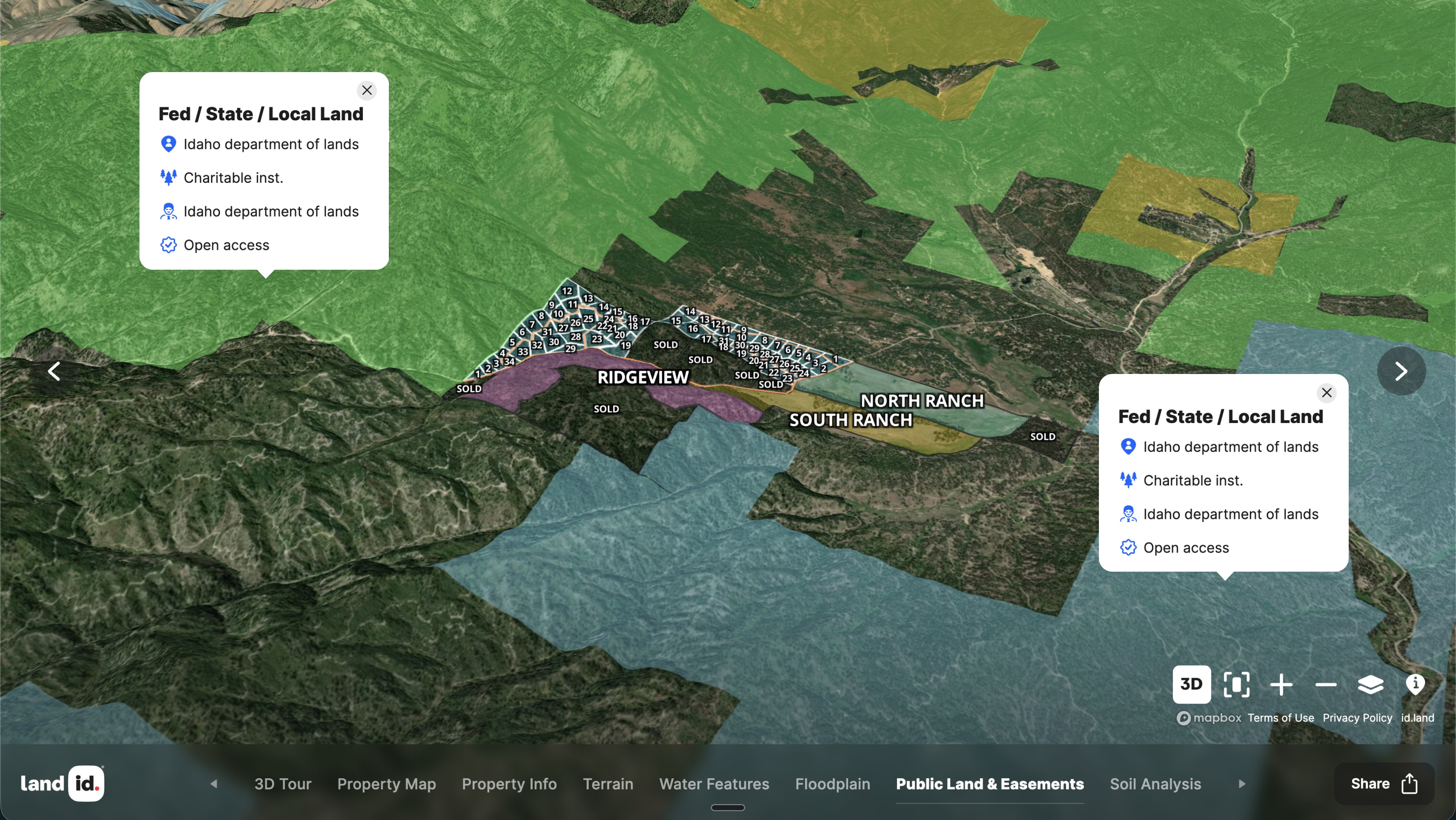
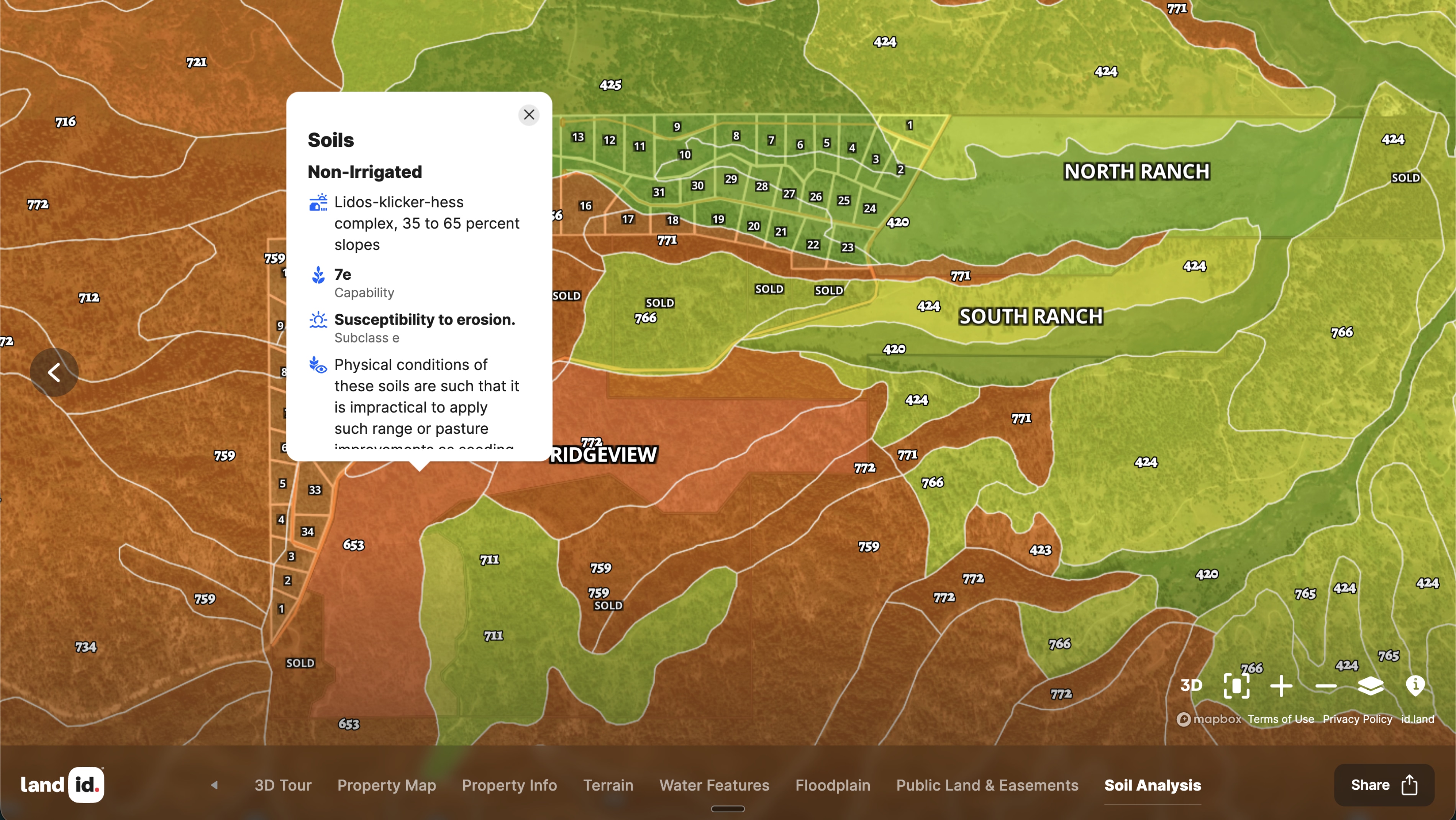
Triple Creek Reserve is a rural residential development in Idaho that uses Land id to give prospective buyers a true feel for the land. The interactive map shows each lot in context: how it relates to the terrain, where the streams run, and exactly where the development meets public land. Buyers can explore the property in 3D, zoom into their lot, and start to understand the experience of owning it—before they ever set foot on site.
The map is embedded directly on the Triple Creek Reserve website, making it part of the sales experience from the first page visit. This integration turns a property map into a marketing tool, driving engagement and helping buyers self-qualify based on lot location and character.
For rural developments where the land itself is the product, Land id gives sellers a way to communicate what makes each parcel unique, while giving buyers a way to connect with a piece of ground before they walk it.
Learn How to Create a Project Like This
- Land id for land & ranch agents
- Land id for property developers
- Create, customize, and publish a Property Tour
- Embed photos, videos, 360 walkthroughs, and more
- Using maps without cell coverage
- Track properties of interest with waypoints
- Adding Labels to Maps
- Import Site Plans
- Real-Time Tracking
- Federal and State Lands Overlay
Take Your Mapping to the Next Level
Mapping is just the beginning. Land id is the #1 tool for researching, discovering, and showcasing land, and we're here to help you make the most of it, every step of the way.