Where Real Estate Begins.™
The AI-native platform for real estate. Land id® gives you the right answers for any address in the country, then helps you act on them. Win the listing, sell it faster, and manage every project the property needs from start to finish.
Meet The Land id.
AI Insights that deliver the right answers about a parcel in a way that hasn’t existed until now. Take the guesswork out of an industry built on it.

Know More = Sell More
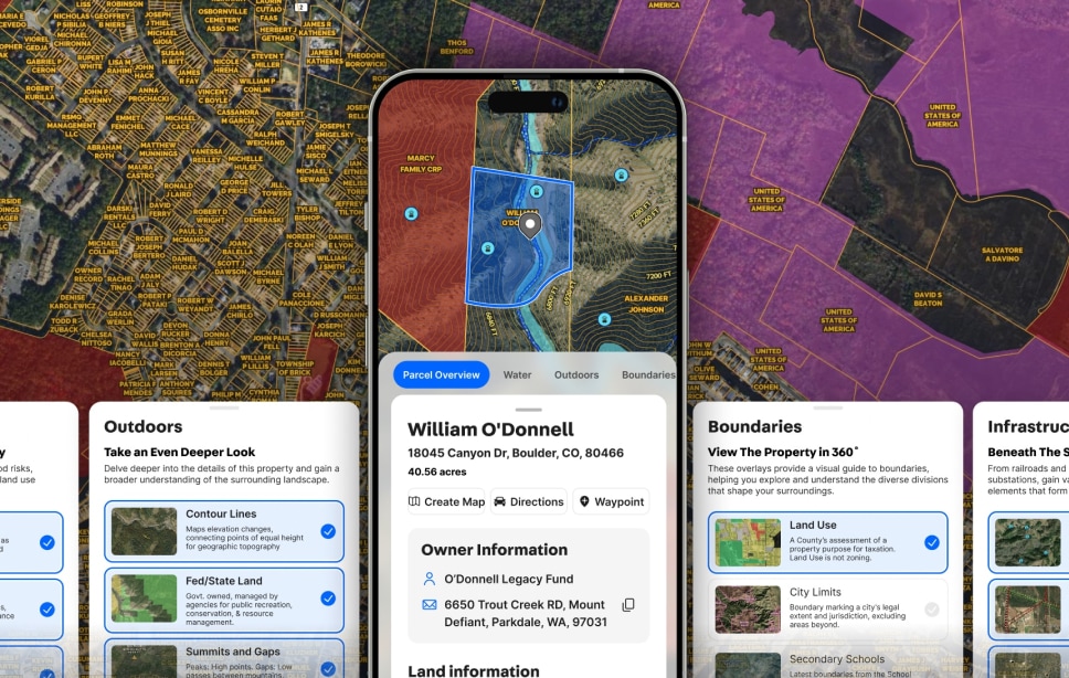
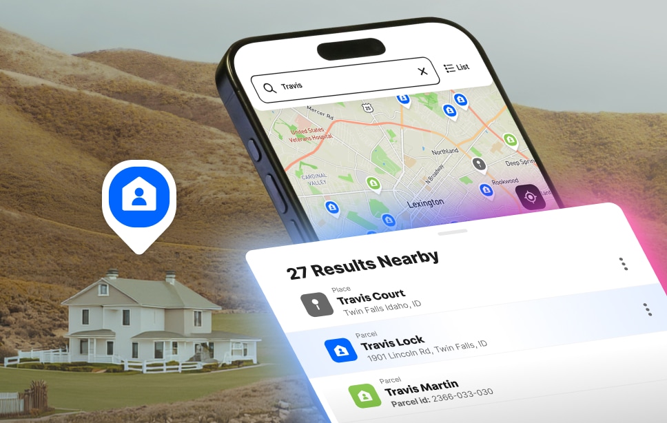
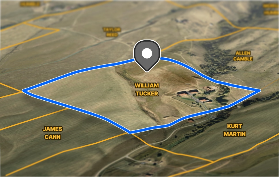
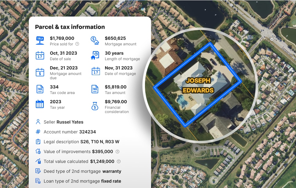
Pull the Land id for any parcel nationwide. Have comparable sales already printed. Walk the seller through what you already know while everyone else pitches what they promise to learn.
Land id for Agents & Brokers →
Land id gives you more information to make better informed decisions. It allows streamlined information to just go straight in.
Match Properties.
Make Deals. Faster.
Prove your value by reducing time to close. Send the Land id before the showing and let them decide from home. Save the windshield and the half day for the property that’s actually the one.
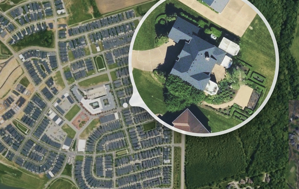
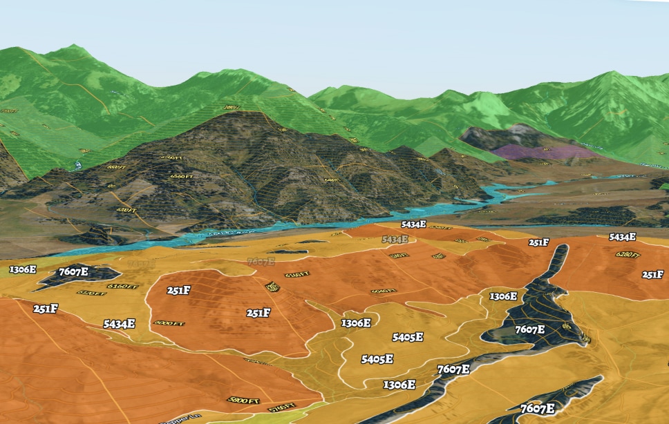
Buyers spend longer reviewing listings that include visual land data.
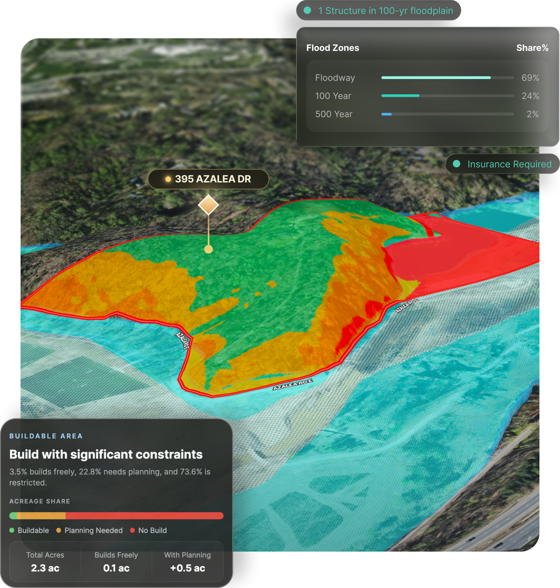
Find Gotchas Before Clients Do
Every property has one thing the buyer’s inspector, lender, or cousin will bring up. The Land id puts it in front of you first, so it’s your answer, not their leverage.
What Land id Helps You Know →Get The Land id. for Any Property Nationwide
Get AI-driven insights that help you understand property like never before.
Land the Listing. Sell it Faster.
From where real estate begins to the ink drying, one link tells the story.
Branded Virtual Tours That Sell the Listing & Win the Next One
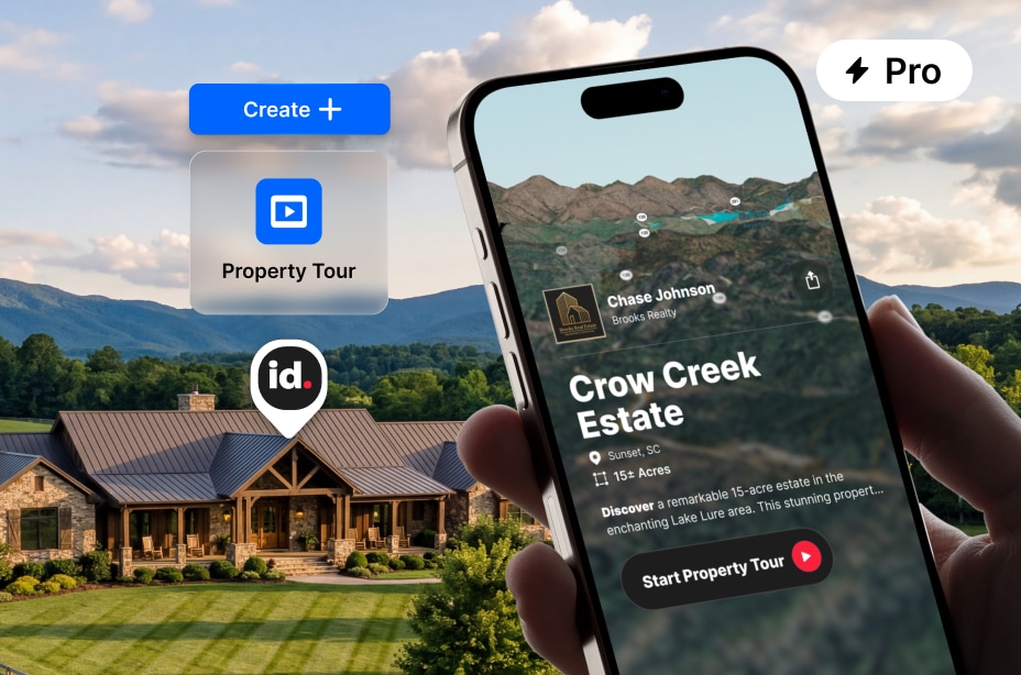
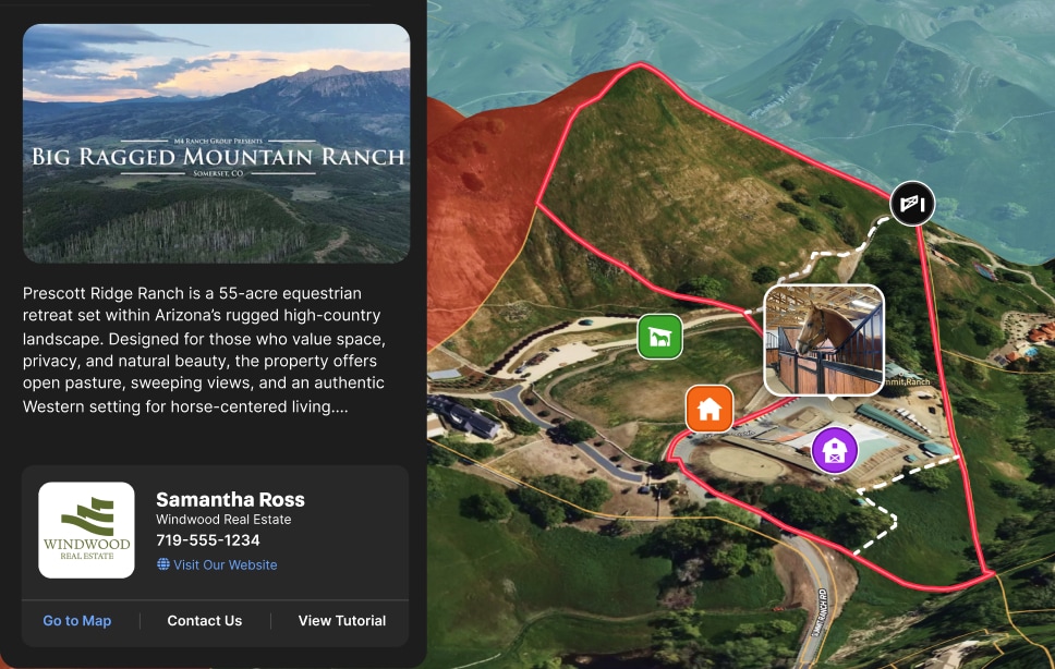
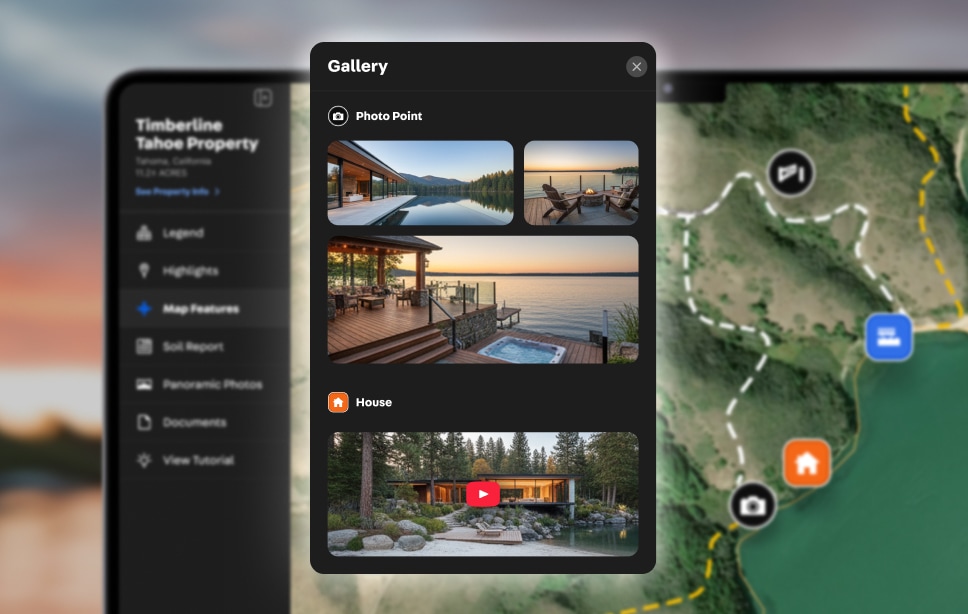
Create a Land id virtual Property Tour to turn any listing into an insight-rich, storytelling slideshow. It’s a polished marketing centerpiece you create in seconds and share with a click.
Discover Virtual Property Tours →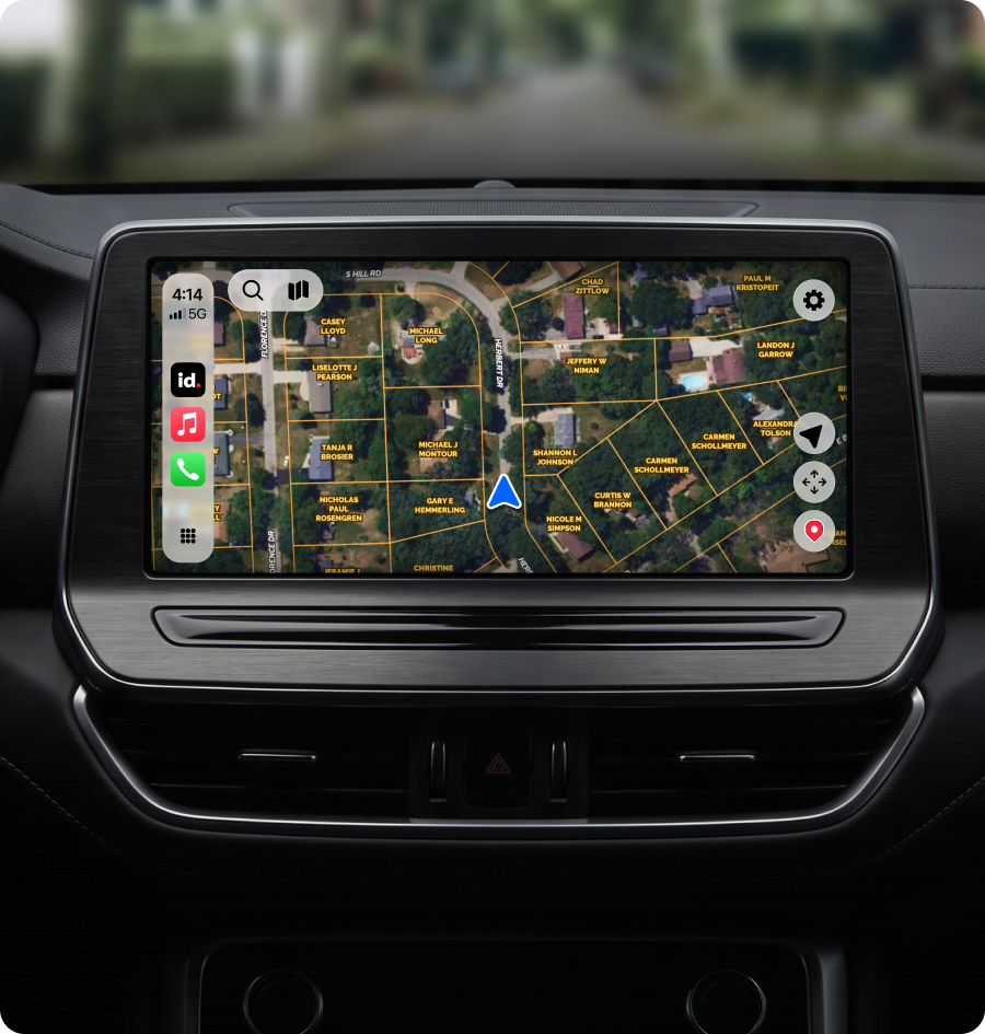
Wow Clients at Every Turn
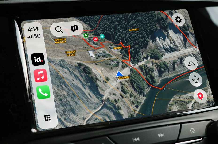
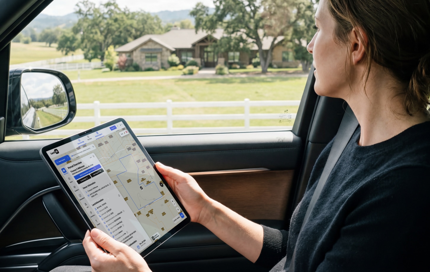
Market property—and yourself. Bring up virtual Property Tours and maps on CarPlay for the ride out, and show clients you’re the agent who knows more about the property than anyone else.
Put Land id on the Dash →
I use Land id because it’s practical, it’s beautiful, it’s feature-rich, and it makes selling real estate so much easier.
Close More Deals Faster
Answer the questions that stall a deal before they turn into a two-week delay. Land id helps you communicate every detail of the property to keep deals moving. Same link.
Agents agree Land id helps them market more effectively.
Make Your First Tour for Free
Land id branded Property Tours with AI Insights help you market, sell, and close listings, faster.




















Create Maps & Reports That Move Projects Forward
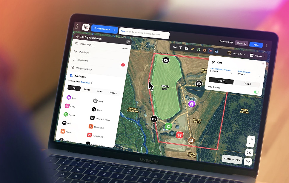
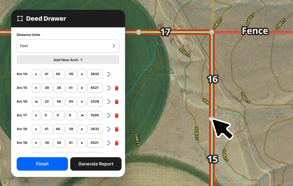
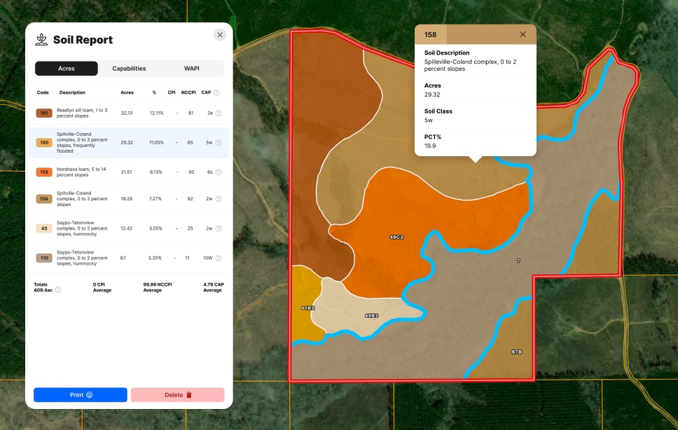
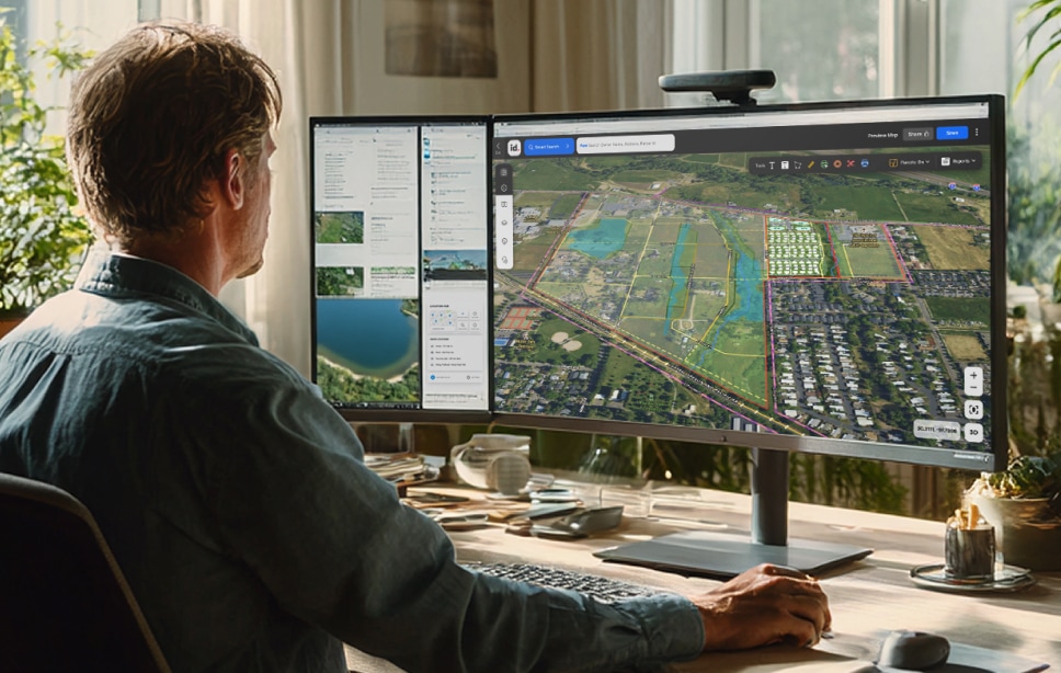
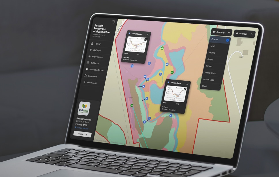
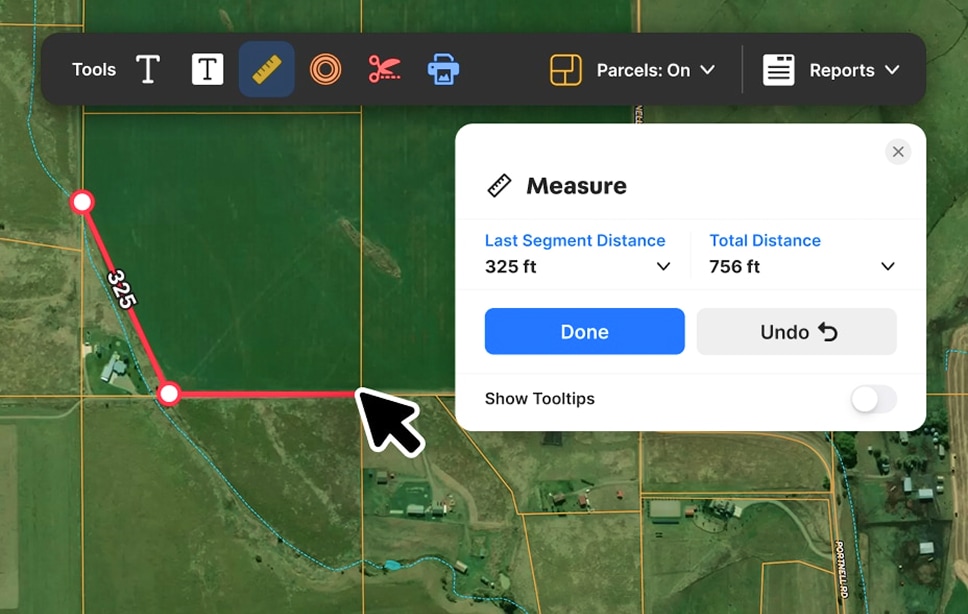
Run quick due diligence, share insights, avoid risks, and spot potential. Manage and share any property project with Land id maps, insights, reports, and databases.
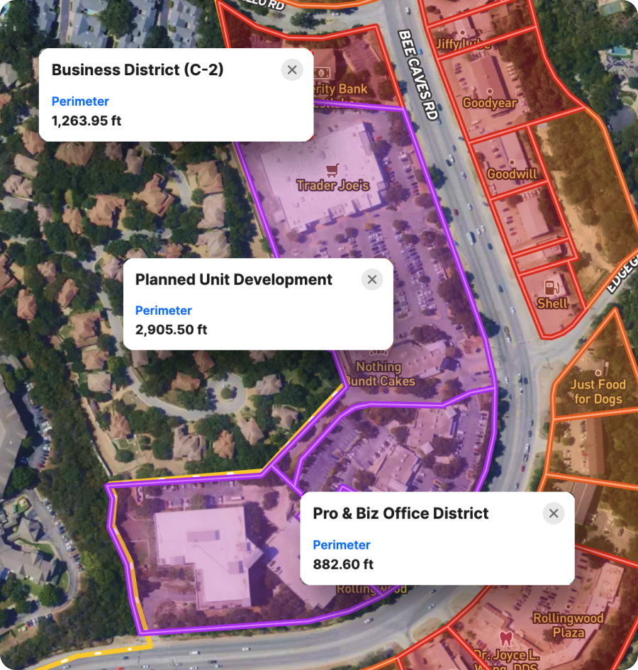
Map & Manage Property Projects, Start to Finish
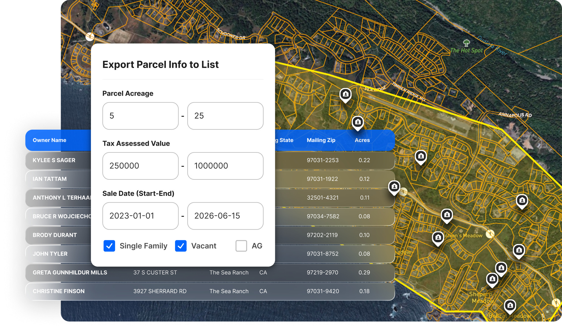
Developers, investors, agents, and landowners use Land id for a huge range of property projects—site scouting for energy farms, tracking comparable sales, harvesting timber, managing commercial ag operations, and much more.
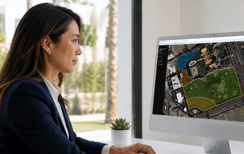
Maps created by agents and property professionals turning data into decisions.
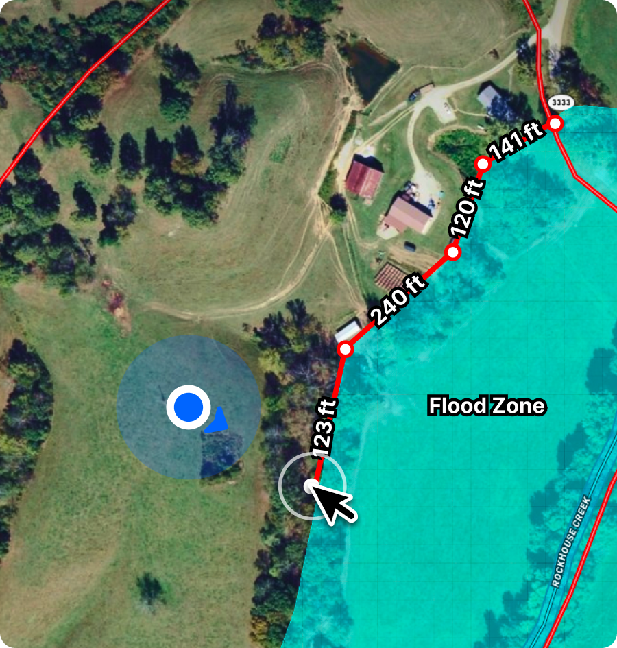
Share Projects for Shared Understanding
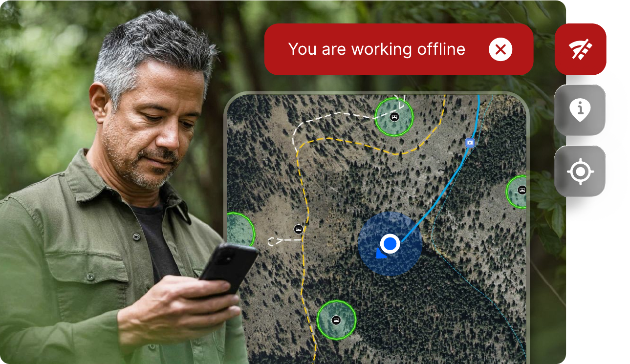
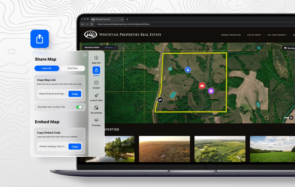
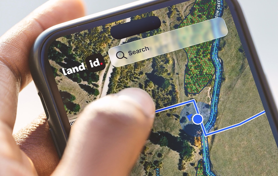
Land id travels offline and shares easily so projects stay up to date and crews, colleagues, and clients quickly understand the property story.
Land id maps and data served daily.


Land id allows me to paint a picture of what an area is going to look like in the long term. It's a big differentiator.
When it’s time to develop, lease, subdivide, improve, or sell, organized property knowledge helps you share insights, evaluate options, and move faster.
Manage Property Projects in a Unified Platform
Use Land id to create, manage, and share property projects and get the job done.
What Do the Pros Think About Land id?
Real stories from real customers. We help property pros like you consistently outperform in their field.
Every Property Need on One Platform