


Dallas, TX — October 6, 2021 — Land id® (formerly MapRight) is proud to announce the release of three new features to Land id’s impressive array of capabilities: the Buffer Tool, the Cut Tool and Lat/Long Search. The Buffer and Cut Tools enable users to easily create exact setbacks and quickly divide boundaries on their maps. Lat/Long Search allows users to search for properties by latitude and longitude on Land id’s web and mobile apps.
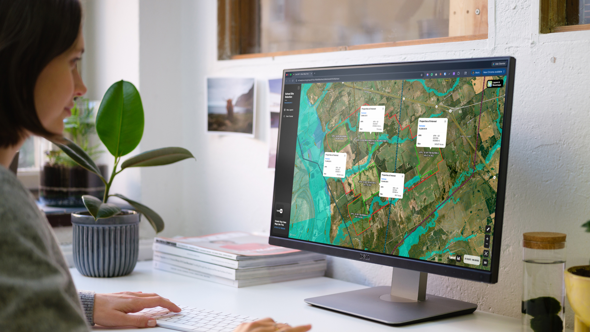
With the Buffer Tool, Land id® users will now be able to draw buffers around access easements, property lines, protected lands and more; they can run buffers on any point, line or polygon on their Land id® map. All users have to do is click on the element they wish to make a buffer around and select the Buffer Tool from the Toolbar, shaped like a circle. Users can then choose the distance of the buffer and change the color and fill. Watch this tutorial to see the Buffer Tool in action.
The Cut Tool, on the other hand, allows users to divide a polygon into smaller sections. To utilize this tool, users select the polygon they want to cut, go to the Toolbar and choose the scissors-shaped Cut Tool on the far right side. From there, users click outside of the shape, draw a line across it and double click to finish the job. To learn more about this new feature, watch the Cut Tool tutorial.
Finally, in addition to searching properties by address, APN number or landowner name, Land id® users now have the ability to search by latitude and longitude coordinates, too. Users have more ways than ever to search and locate parcels in both the web and mobile apps.
“These new tools will be incredibly useful for our users,” explains Land id’s founder, Steve Roberson. “We strive to make our application as comprehensive as possible, and these new tools enable us to do just that.”
The Buffer and Cut Tools are now conveniently available in Land id’s web and mobile applications. Login or sign up for an account today to explore the full functionality of Land id®.
About Land id®
Building on several decades of education and experience working with GIS, Land id® was founded in 2014 to help companies and individuals gain a better understanding of properties and land features and be able to more intuitively communicate them with others. Land id® offers nine different GIS base layers and nearly two dozen Land id® layers, countless styling and customization options, and several easy ways to share your maps. A 7-day free trial helps users get started on the web app and companion mobile app. If you’re looking for an even more affordable and compact map making experience, check out Land id’s standalone mobile app.
FAQs
Continue Reading
Alyssa Toohey
Off the Map & In Person: The Land id Team Gets Together

By Land id
The Land id team came together in Montana for collaboration, connection, Big Sky views, PBR, Yellowstone, and plenty of memorable moments.

Craig Rowe
Prospecting, Part 3: Find Land Faster
.png)
By Land id
How real estate investors and developers can use Land id to discover and analyze land-buying opportunities in less time.

Explore Private Parcel Data & Property Boundaries
Download the Land id app and try for free.
