


The real estate industry spent the last decade making the inside of a home more visible than ever, with 3D walkthroughs, interactive floor plans, and virtual staging. But it’s largely stopped at the front door, and that’s coming at a cost to the industry and consumers.
T3 Sixty, a leading real estate research and consulting firm, published a white paper outlining why it's time to give the outdoors the same treatment. And they used Land id® and Big Sky Country MLS to show how it's done.
Key Takeaways
- T3 Sixty's new white paper calls for a "floor plan for the outdoors"—richer, interactive geographic context built into every MLS listing.
- Legacy mapping vendors create MLS operational bottlenecks with real-world costs across finance, tech, and user experience.
- Big Sky Country MLS replaced its legacy system with Land id and can now control map updates without waiting on a vendor.
- MLSs that embed this geographic intelligence directly into listings become a source of truth for downstream brokers, portals, and consumers alike.
Consumer Maps Aren't Built for Real Estate
Consumer mapping platforms, such as Google Maps, are built on an advertising model. They exist to route people to the nearest coffee shop, not to communicate the natural features that add to a property's value.
T3 Sixty calls this "the McDonald's Dilemma": tools built to find fast food aren't the right tools to highlight neighborhood trails, water features, school proximity, or land-use patterns. And it’s costing MLSs time and money.
What "A Floor Plan for the Outdoors" Actually Means
When you sell a home, you publish a floor plan—a precise, visual representation of what's inside. The same standard should apply to everything outside the four walls.
For a ranch or acreage listing, that means property boundaries and contextual land data like terrain, water access, and surrounding land use. For a luxury, urban, or suburban listing, it means lifestyle, walkability, nearby amenities, development activity, and school district context.
In all cases, the goal is the same: give agents and buyers context, a complete, immersive, interactive experience of where the property sits in the world—not just a pin on a road map.
Real-Time Control & Long-Term Savings for MLS Staff
Mike Lake, CEO of Big Sky Country MLS in Bozeman, Montana, describes the operational change plainly: Using Land id, his team can now update school district or city limit boundaries in real time. Under their previous system, updates could take 72 hours—and if a change fell over a weekend or holiday, the wait stretched to a week.
"I don't need to go back to the company and say, 'Here's a change we need to make,'" Lake said. "I can simply go in, make the changes myself, and see them update in real time."
That kind of control matters. Stale boundaries mean incorrect search results, which means frustrated members and consumer trust problems. Operational speed is a product quality issue.
Built for Where MLSs Are Headed
Regionalization, consolidation, and data-sharing partnerships are reshaping how MLSs operate. Big Sky Country MLS chose Land id in part because of how it handles neighboring market data.
It's also worth noting how this data flows downstream. By using RESO-standard fields—like MapURL or virtual tour fields—MLSs can deliver enriched geographic data directly to brokers and portals. The MLS becomes the source of truth for property context, not just property details.
Why MLSs Need to Rethink Their Listing Strategy
Failing to expose the full geographic context of a listing means the consumer isn't being fully served. The MLS that solves this problem—and chooses the right vendor to achieve it—positions itself as an innovator.
FAQs
Continue Reading
Craig Rowe
How to Work With Out-Of-State Buyers: Tips for Real Estate Agents


By Land id
Agents in emerging markets will benefit from an influx of aspiring buyers. Get tips on how to make the most of these potentially lucrative leads.
Absentee Owner Lists: What They Are, Why They Convert & How to Get Them
By Land id
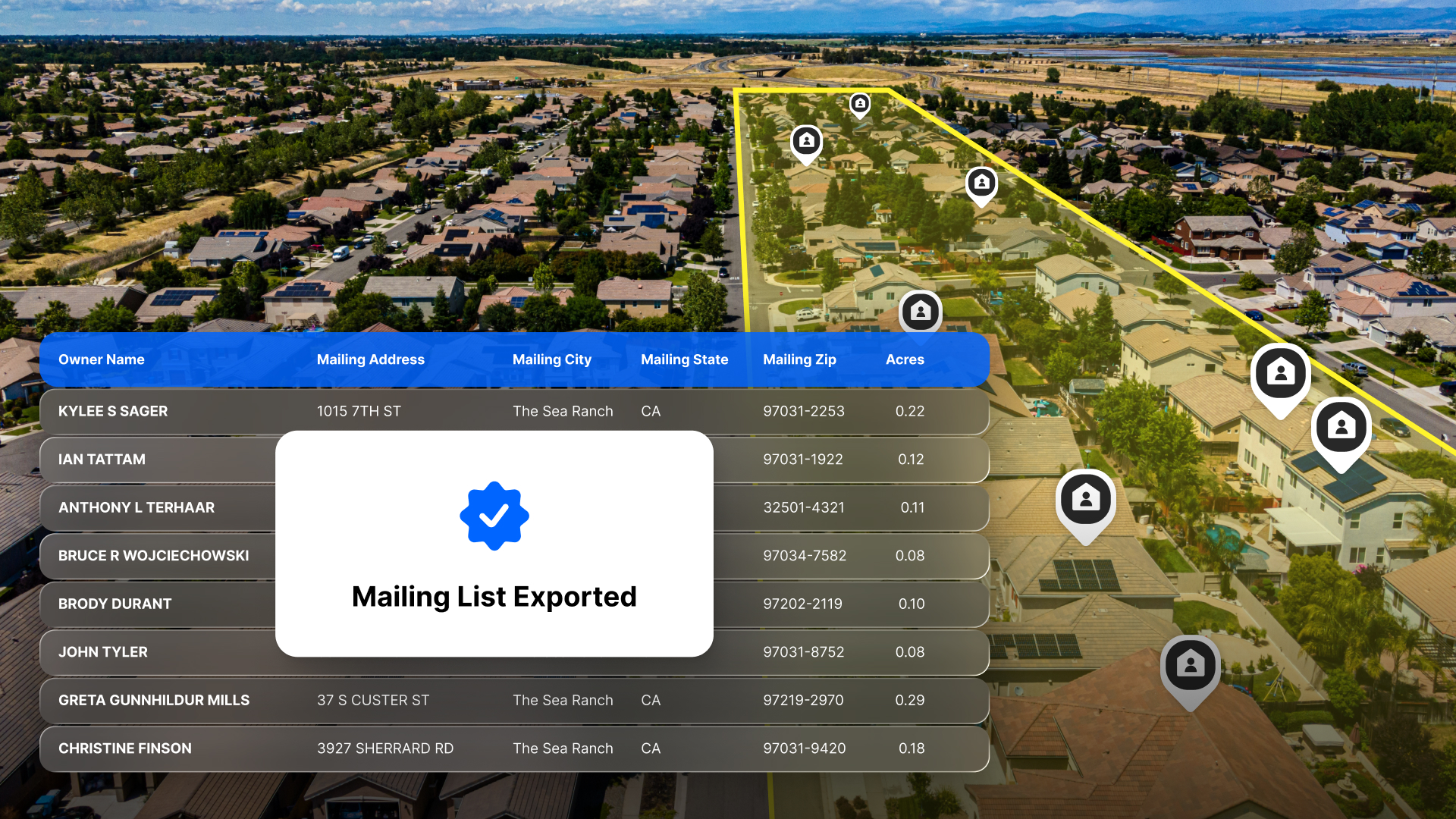
Absentee owner lists are one of the most reliable ways to find off-market opportunities before your competition does. Here's how to do it in Land id.

Explore Private Parcel Data & Property Boundaries
Download the Land id app and try for free.


