



You quoted a price on a lot, shook hands on it, and then a drainage easement or a floodplain line you never saw turned a clean deal into an awkward phone call.
It happens to good agents. Not because they cut corners, but because the truth about that parcel was scattered across a county website, a map nobody opened, and a paper deed sitting in an archive two counties over.
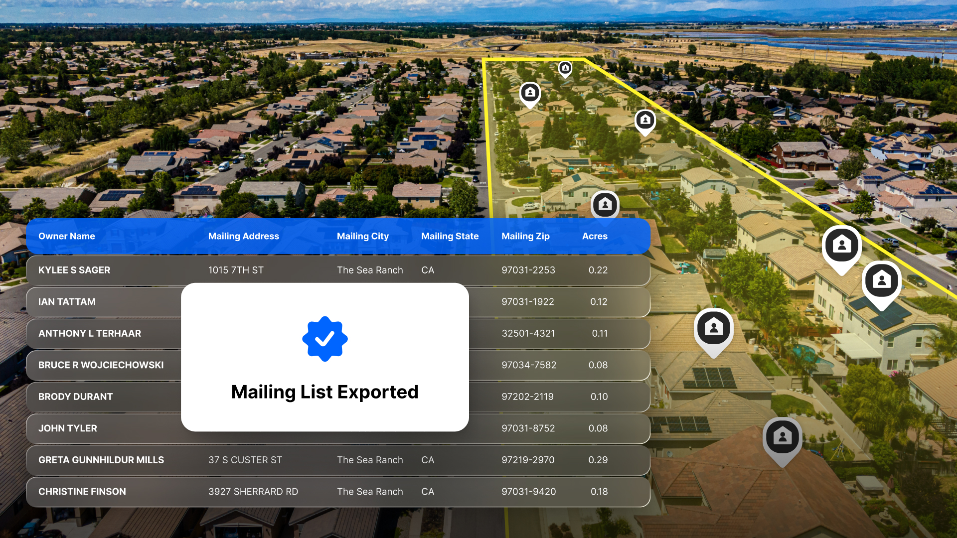
That's what property data software is for. It pulls parcel maps, ownership records, sales history, land use, and risk markers into one map, so you understand a property in minutes and can show a client why it's worth what you say it is.
Key Takeaways
- Pricing raw land and pricing a finished lot require completely different questions.
- Ownership history gaps are real, structural, and built into the system. Knowing where they come from changes how you work around them.
- Land id brings parcel data, aerial imagery, 40+ map overlays, and AI Insights to interpret it all into one view so you can evaluate a property and explain valuation.
What You Actually See in Property Data
Good property data software brings county assessor, recorder, MLS, GIS, FEMA, and USDA data into one searchable map, often alongside market analysis and customer relationship management tools, with some providers offering 94% MLS coverage across the U.S.
For a real estate professional, that usually means:
- Parcel boundary information and ownership on an interactive map.
- Assessed property values split between land and improvements, plus tax history.
- MLS-linked comps with price, date, distance, and arm's-length status flagged.
- Data overlays for land use, setbacks, and density.
- Environmental layers for flood, soils, wetlands, and slope.
- Aerial and historical imagery.
Raw data alone won't help with the real estate valuation process. A deed record only tells you what happened. Data quality matters because accuracy refers to whether records match reality, and high-quality land valuation data combines accuracy with completeness, consistency, and timeliness so records stay reliable and complete enough to support analysis.
Some platforms even go beyond data collection with advanced search options (such as APN, owner name, owner portfolio, or coordinates), comparable sales reports, and professional real estate mapping tools to help you track trends in your area.
Take an infill lot in Phoenix. You confirm a half-acre parcel and its R-5 zoning, pull two 2023 teardown sales at $180,000 and $200,000, then spot a utility easement trimming the buildable footprint by 10% and moderate flood risk. Advanced market analysis and a solid understanding of the land appraisal process for property owners can also track demographic shifts and environmental risks when refining comps. Now you're adjusting comps instead of guessing. Property data software supports that research and helps your ability to narrow a range, though it doesn't replace an appraisal, survey, or title work when the deal calls for them.
For the agent who uses it, that shows up as tighter list prices, fewer overprice-then-reduce cycles, client trust built on evidence they can see, and fewer surprises late in escrow.
Raw Land & Finished Lots Don’t Price the Same
When the risk profile shifts, the data does too.
For raw land, check:
- Soil and percolation
- Slope and grading cost
- Flood and wetlands buffers
- Utility proximity
- Road frontage
- Entitlement status
For finished lots, check:
- HOA covenants
- Lot orientation
- Recent builder closings
- The platted map
- Hookup costs
A 5-acre unplatted tract outside a major metro area that's heavily sloped, has no sewer, and sits half in a wetlands buffer needs costly adjustments for hazard and feasibility. A 0.18-acre platted lot with full utilities and flat terrain is nearly ready to build. A Land id map separates the two faster than an afternoon of research.
Why Ownership History Has Holes
U.S. property records are decentralized, and that's the root cause of gaps in even the best subscriptions.
Every county keeps its own records. Digitization, indexing, and update speed vary wildly from one to the next. Even the largest nationwide parcel data platforms, including platforms with access to over 5.5 billion property records, still depend on county source quality and timing. And while 99.5% of many property records are collected directly from the source, source variability still creates gaps by address, location, and time.
Common reasons for ownership history gaps:
- Older paper records were never scanned, especially pre-1990s rural deed books.
- Legal descriptions like "bearing to the old oak tree" resist automated parsing.
- Recording delays leave weeks or months between closing and available data.
- Off-market transfers through trusts, LLCs, or estates get recorded but rarely flagged as non-market, which skews comps.
- Lot splits or merges don't match between assessor and GIS data.
- Inaccurate data can also come from manual errors or system hiccups during record entry, transfer, or monitoring across datasets, making it harder to identify and fix errors.
Ownership history matters because patterns tell a story. Quick flips can signal speculative pricing. Family transfers rarely reflect market value. Watch for rapid ownership changes, quitclaims and intra-family transfers, LLC or trust ownership that hides encumbrances, and liens or foreclosures in the chain.
The Part That Still Runs on Paper: Challenges to Accurate Data
Here's the reason accurate property valuation continues to be a challenge: Many title companies still run on decades of paper. They maintain physical title plants full of abstracts and index books, and old easements, covenants, and legal descriptions often exist only on a paper plat or in a surveyor's office.
That's the last mile of ownership history, and it's what bulk data providers can't fully digitize. Some platforms provide recorded property document images that support legal due diligence, but they still don't replace local paper-based verification.
A 1980s easement recorded only on a paper plat, never entered into the county's GIS layer, gets caught by a title examiner reading the physical page. Your subscription doesn't catch it.
No provider can promise a gap-free history across 3,000-plus counties, and that isn't a knock on the technology. It's the system underneath it.
Smart pros know title review is crucial for legal matters when paper records or missing encumbrances are possible, and they treat clear definitions of scope and limits as essential. They expect a discrepancy between a software snapshot and a title commitment, and they build it into their timelines before it costs them a deal, often using precision deed plotting software alongside traditional title work.
Match Your Diligence to the Deal
For a standard subdivision lot with clean comps and simple ownership, a quick AVM plus recent sales is usually enough to price it or make an offer. Reach for title, survey, or legal work when:
- Ownership involves LLCs, trusts, or frequent transfers.
- Easements or access questions stay open.
- The deal carries real market risk like assemblages and edge-of-town parcels.
Treat subscription tools as decision support, not legal proof. A CMA, an underwriting memo, and a lender-ordered appraisal each answer to different standards.
The strongest agents triangulate. Software handles broad screening across dozens of parcels and clarifies precise property boundary information. MLS refines the comps. Title resources handle legal verification.
How Land id Fits Into the Land Valuation Process
You rarely need data for its own sake. You need to discover opportunities and prospects quickly in the field, answer a client's question on the spot, size up a few properties before you drive out to them, and explain what makes one lot different from the one down the street.
Land id brings together nationwide parcel information, seven types of basemaps, 40+ property data overlays, comparable sales, and AI Insights that explain what the property data means so you can evaluate a property, share what you've found, and defend pricing.
Building a listing presentation for a 10-acre homesite? Telling a client a lot is special only gets you so far. With Land id, you can display parcel lines, infrastructure access, soil data, and quickly generate a comparable sales report, all in one place, so the client sees the whole picture in one view.
Land id doesn't replace a title search. Our real estate mapping software helps you raise the right questions with clients, surveyors, and title companies earlier, before they turn into expensive problems.
The Takeaway
Property data software strengthens land valuation by centralizing parcels, insights, and maps into one workflow, especially when it offers broad national coverage and accurate property intelligence. It helps you price with more confidence, present more clearly, and catch red flags early.
What it can't do is erase ownership history gaps because those are structural and rooted in a paper-heavy system run independently by thousands of counties.
That tension is the whole point. The best agents use technology for speed and lean on human expertise where the records fall short. Their clients feel the difference from the first showing to the closing table.
FAQs
What kind of property data can I access with Land id?
Can I use comps for vacant land?
When should I order a title search instead of relying on software?
Catch Deal-Breakers Early
Save time and avoid expensive mistakes. Use Land id to evaluate deal-killing constraints before you leave your desk.
Continue Reading
Craig Rowe
How to Work With Out-Of-State Buyers: Tips for Real Estate Agents


By Land id
Agents in emerging markets will benefit from an influx of aspiring buyers. Get tips on how to make the most of these potentially lucrative leads.

Absentee Owner Lists: What They Are, Why They Convert & How to Get Them
By Land id
Absentee owner lists are one of the most reliable ways to find off-market opportunities before your competition does. Here's how to do it in Land id.

Explore Private Parcel Data & Property Boundaries
Download the Land id app and try for free.


