Latest
The Fast, Easy Way to Create a Comparable Sales Report
By
By Land id
Stop jumping between tools. Learn how Land id lets you build and share comparable sales reports directly from the parcel card—fast, accurate, and client-ready.
The Past, Present, and Future of GIS
By
By Land id
Geographic Information Systems (GIS) are computer systems for capturing, storing, analyzing, and managing data and associated attributes spatially referenced to the earth. In other words, a GIS lets us visualize data on a map. Since it was first created in the late 1960s, GIS technology has grown exponentially. Today, there are many applications of GIS beyond what it was initially developed for, with GIS being used across industries, from real estate to agriculture. As it becomes increasingly accessible to businesses, both big and small, and more precise through rapid advancements in technology, the future of GIS is bright.
A Wildfire’s Worst Nightmare: GIS
By
By Land id
Wildfires are one of the most devastating natural disasters known to man. In 2021 alone, we saw 58,985 fires and 7,100,000 acres of land destroyed in the US. As society continues to grow and expand, the risks from wildfires increase dramatically, especially in areas that have historically been prone to them, such as the western United States.
Land id® Introduces Faster and Easier Creation of Targeted Mailing Lists
By
By Land id
Dallas, TX — July 25, 2022 — Land id® (formerly MapRight) is thrilled to announce that the new custom polygon tool for extracting direct marketing and research lists is now available for users. This new selection feature, found in our Create CSV Report options, allows users to draw a precise area of interest and produce a mailing list with the exact land and landowner characteristics they need.
The Evolution of Drone Mapping (And How You Can Do It Too)
By
By Land id
Drone mapping technology is evolving faster than ever, giving the average person access to high-quality aerial photography that would have cost tens of thousands of dollars just ten years ago.
The Value of GIS in Any Land Survey
By
By Land id
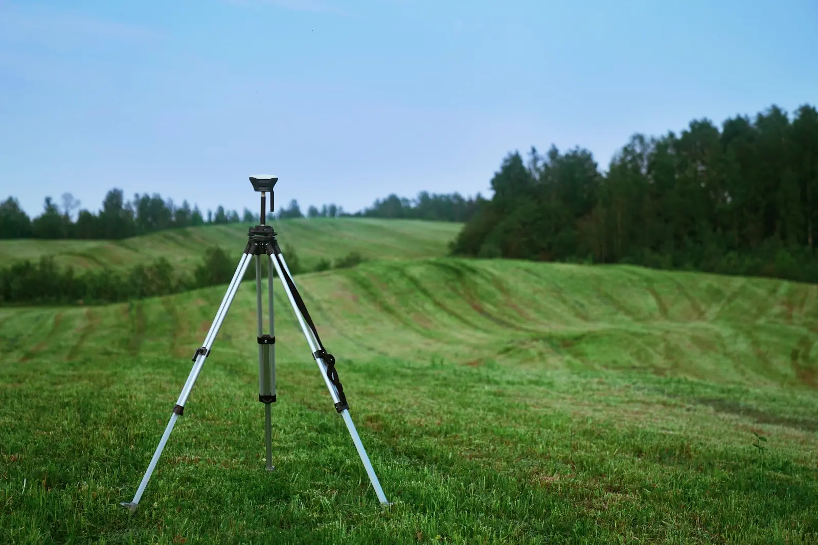
Whether you need to measure and allocate plots of land, identify property lines, estimate property values, or plan civil engineering projects, conducting a land survey is invaluable.
Everything You Need To Know About Land Capability Classification
By
By Land id
As a farmer or rancher, knowing your soil is vital to how you use your land – you wouldn’t want to waste your time and resources planting crops in an area they ultimately won’t be able to grow in.
No results
Sorry, we don't have any articles that match your search. Try resetting your filters.


