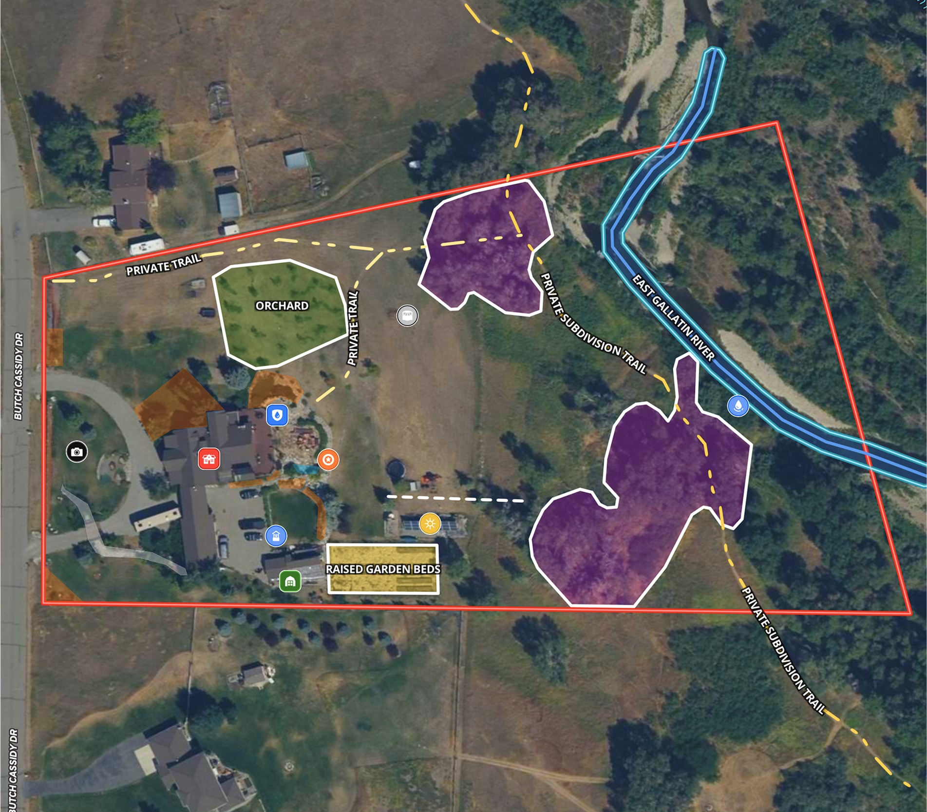
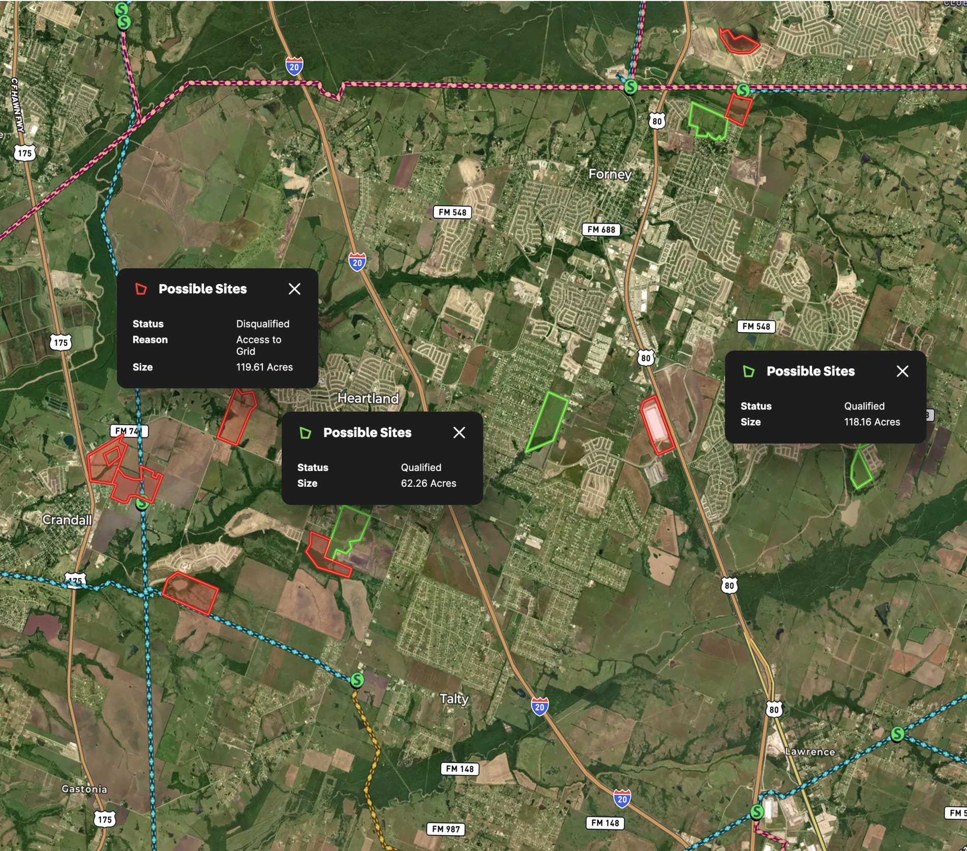
Planning is critical to bring a dream to life, especially when you're planning a dream house for high-end clientele.
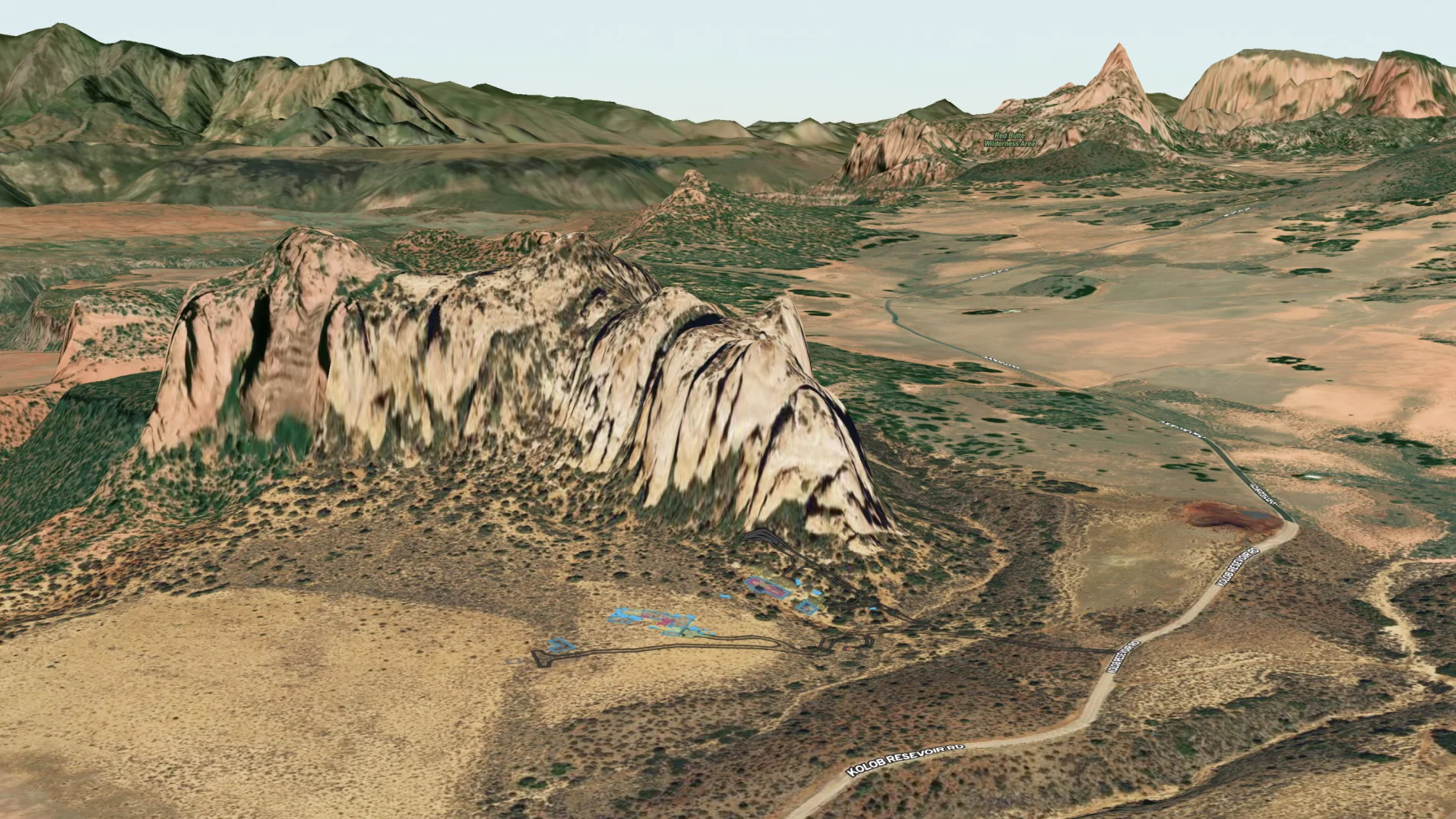
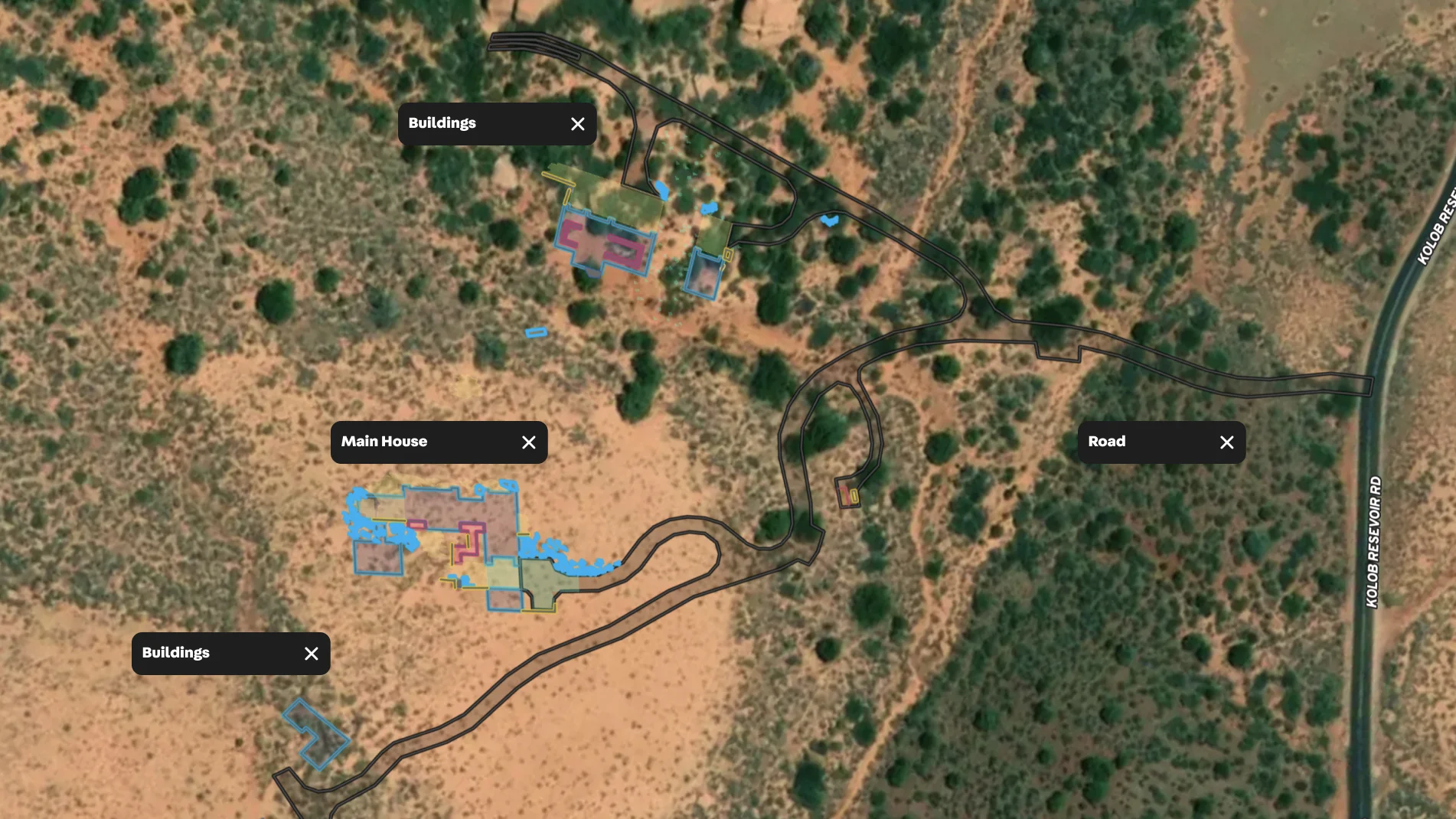
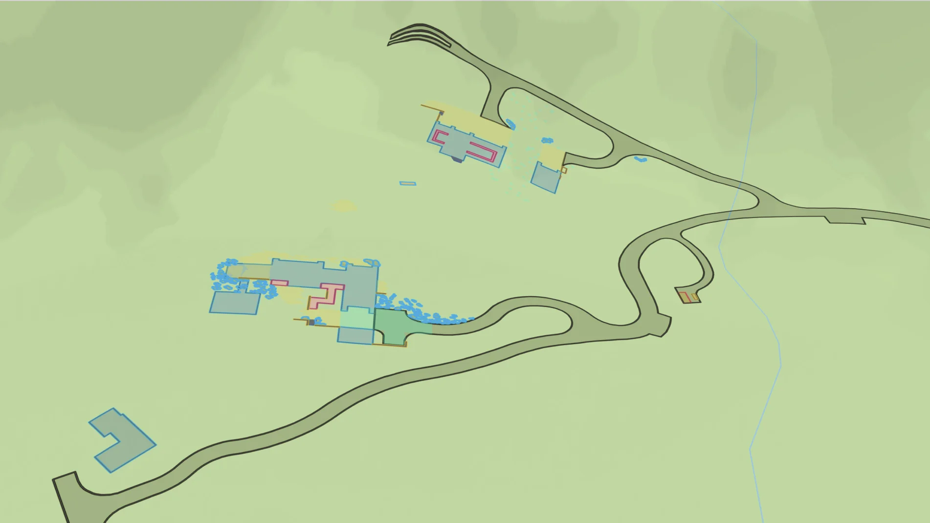
In this map, a general contractor breathed life into the plan by embedding the master site plan onto the property map. It was simply a matter of exporting a properly projected CAD file into a Shapefile and then importing the Shapefile into Land id®. The result? The team can see themselves on the plan when they're in the field and make the necessary refinements. Then the map can be shared with the client to make sure everyone is aligned.
As the construction process starts, the general contractor can easily share this map—or save a different version with specific annotations—with the builders, the landscape architect, telecom crew and more. When there are changes to the plan, the project engineer can quickly update this map and everyone will see the latest version.
Since a property's identity continues to evolve, the property map can evolve too. The owner can use the interactive map to sketch out potential property improvements and document changes.
Learn How to Create a Map Like This:

Make Your First Map in 3 Min.
Try for freeKeep Exploring
Take Your Mapping to the Next Level
Mapping is just the beginning. Land id is the #1 tool for researching, discovering, and showcasing land, and we're here to help you make the most of it, every step of the way.


