Marketing an industrial or commercial site for lease isn't just about the building—it's about what's on the land and connected to it. For a data center or heavy commercial tenant, the questions that matter are: Is there power? Is there water? What infrastructure already exists, and where does it sit on the property?
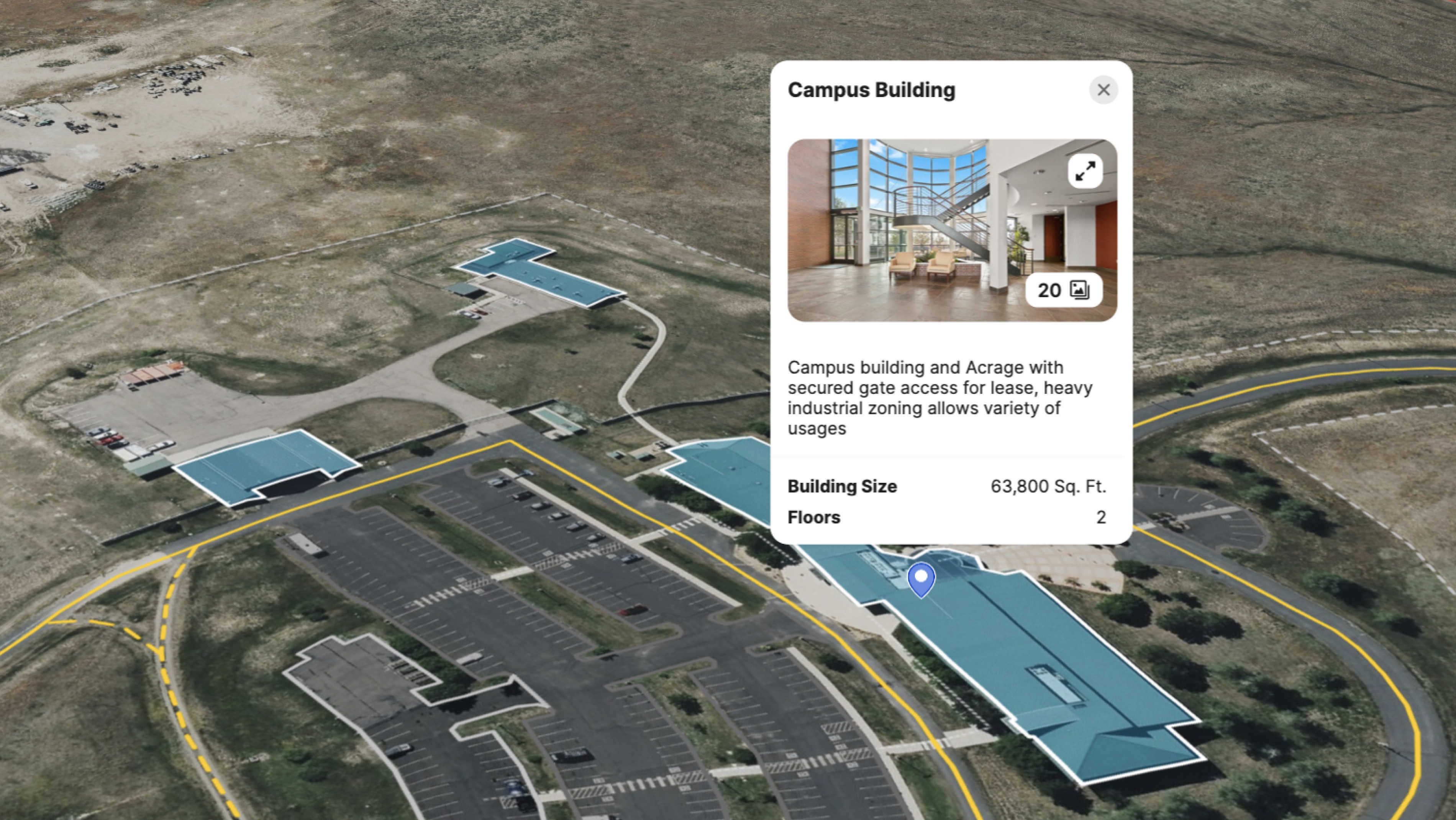
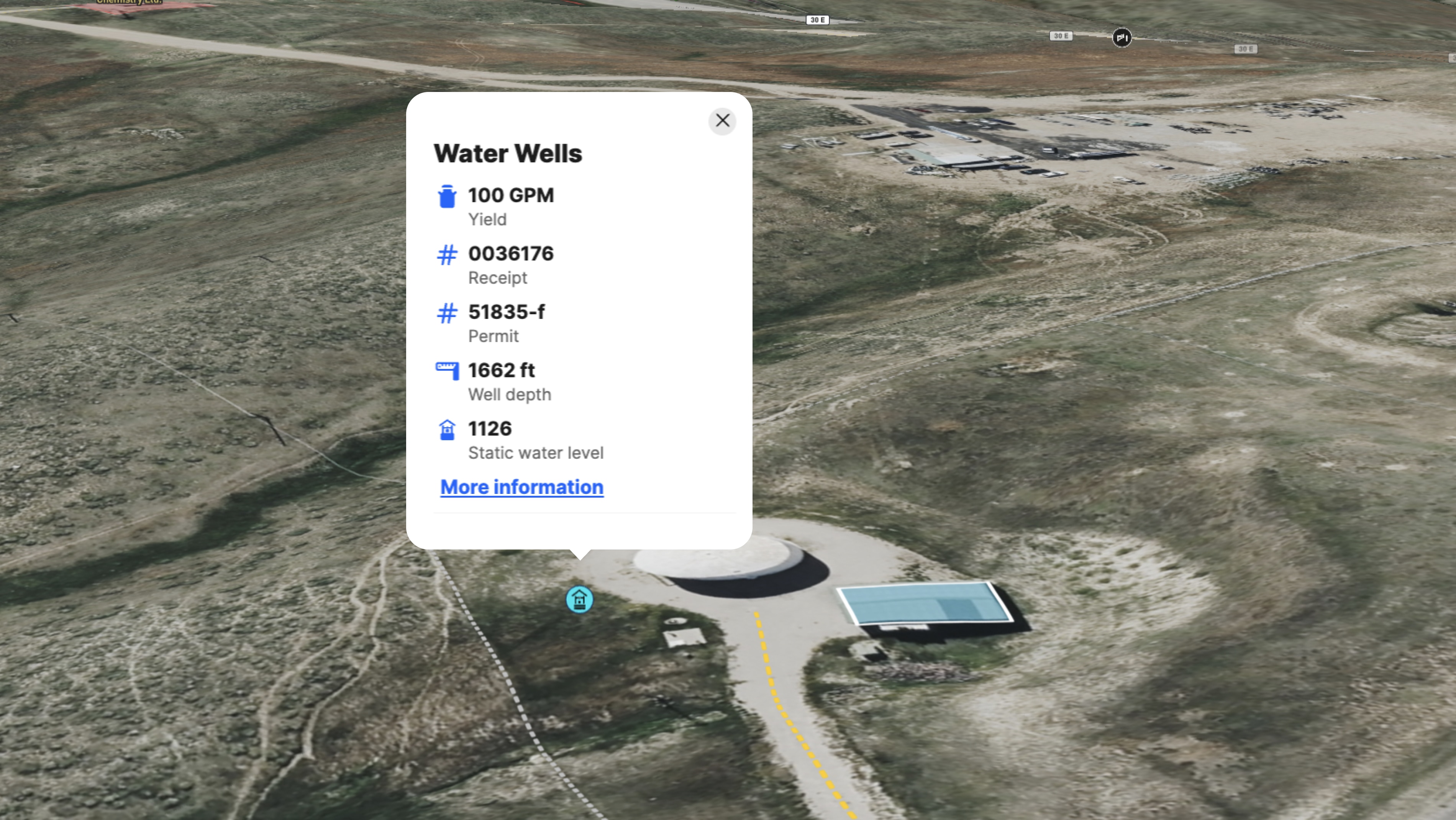
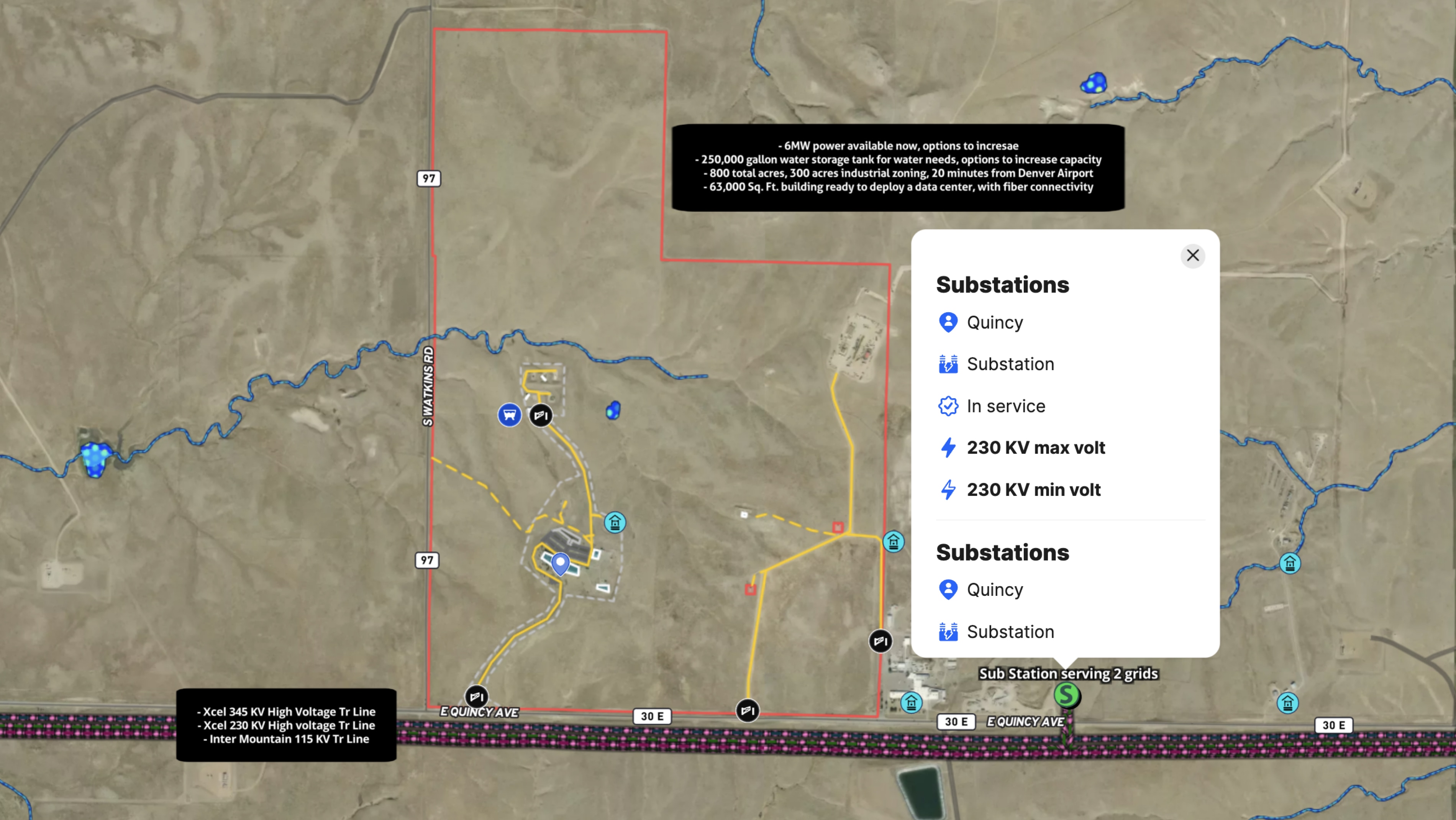
Sreenath Rayalla, a broker at Denver Desi Realty with Exit Realty, used Land id to market 33101 E. Quincy Ave., a data center campus available for lease in the Denver metro area. The map layers property details over Land id's Water Wells and Surface Water overlays, giving prospective tenants a clear picture of available water resources and existing infrastructure. Campus buildings are labeled and annotated with pop-up details, embedded photos bring the site to life, and custom branding keeps the listing presentation polished.
The result was more engagement. "Yes, I am using it and have great attention compared to my listing without these maps," Rayalla said.
For commercial and industrial brokers, that attention is the first step. A well-built Land id map communicates infrastructure context that no static listing sheet can replicate—and for tenants evaluating data center sites, the difference between a map that shows utility access and one that doesn't is the difference between a callback and a pass.
Learn How to Create a Project Like This
- Land id for data centers
- Quick start: How to make Land id maps
- Create detailed maps by adding items
- Embed photos, videos, 360 degree walkthroughs and more to maps
- Water wells
- Surface water
- Add your branding
- Add labels
- Points of Interest Overlay
Take Your Mapping to the Next Level
Mapping is just the beginning. Land id is the #1 tool for researching, discovering, and showcasing land, and we're here to help you make the most of it, every step of the way.