

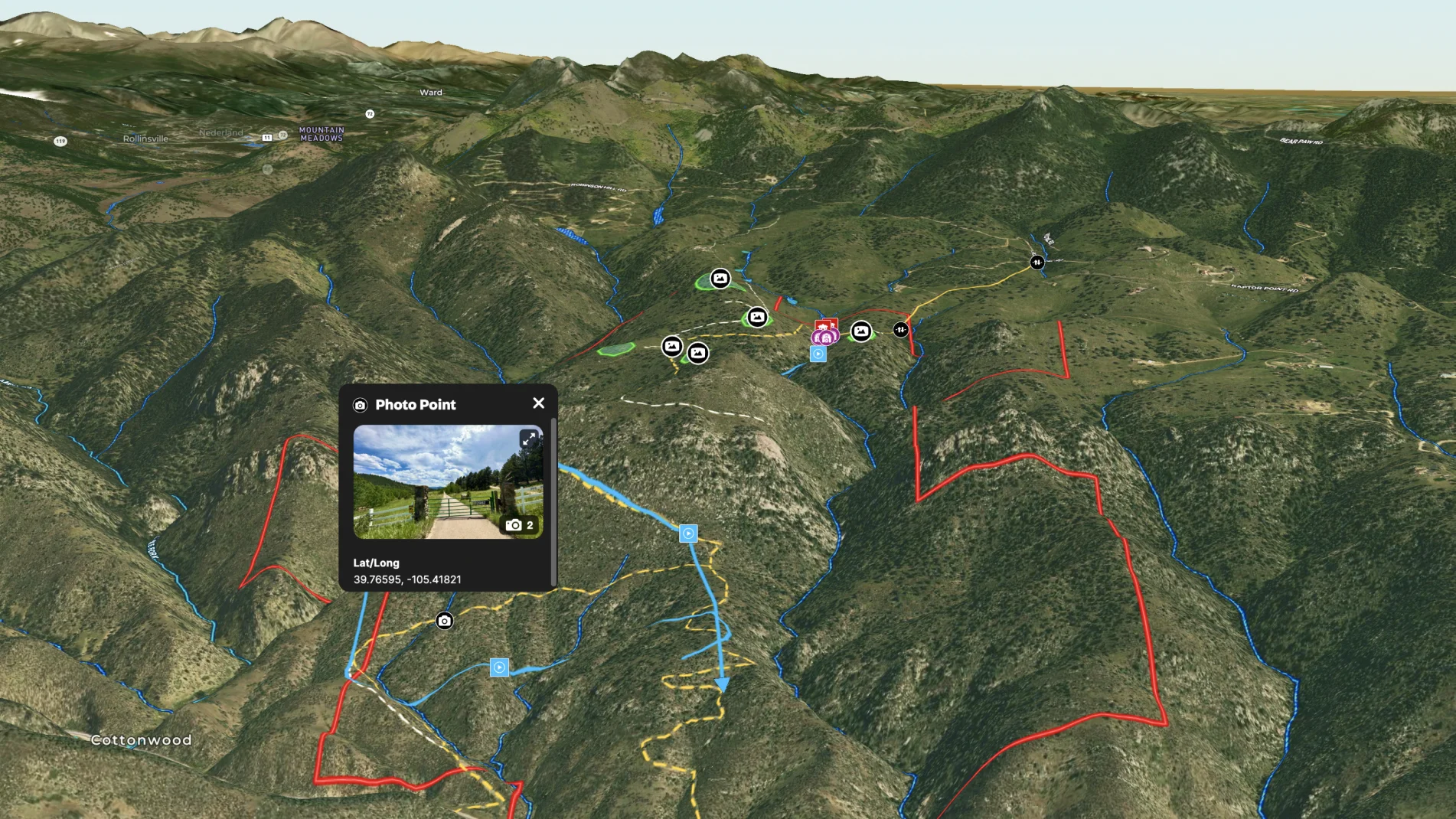
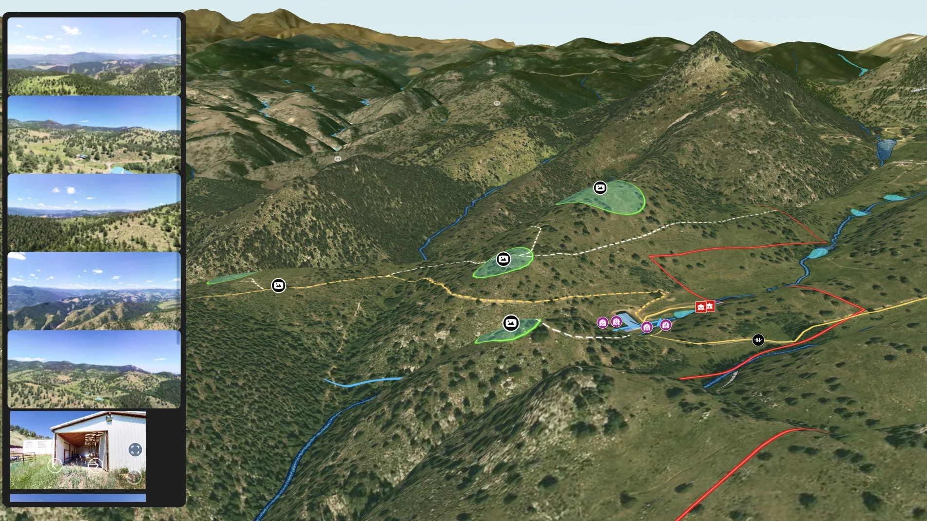
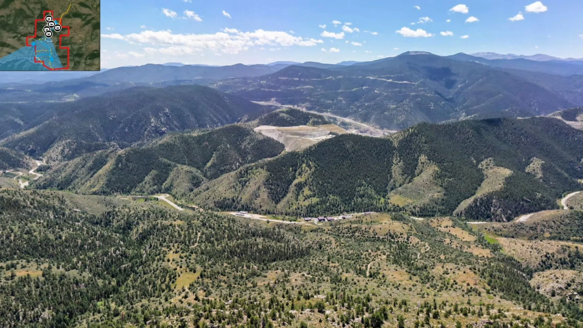
This general contractor used Land id® to help the landowner choose a build site for their mountain dream home.
The contractor highlighted potential build sites and included the blue drone paths of other areas the crew scouted. He created spatial context by noting existing infrastructure and embedding panoramic pictures for the full, 360° views.
With a map like this, it's easy for the landowner to make informed, confident decisions without traveling onsite.
Learn How to Create a Map Like This:
- How to make maps in Land id
- Draw detailed maps using the feature palette
- Use the mobile tracking tool
- Embed photos, videos, 360° walkthroughs, and more onto your map
- Add panoramic images
Take Your Mapping to the Next Level
Mapping is just the beginning. Land id is the #1 tool for researching, discovering, and showcasing land, and we're here to help you make the most of it, every step of the way.

