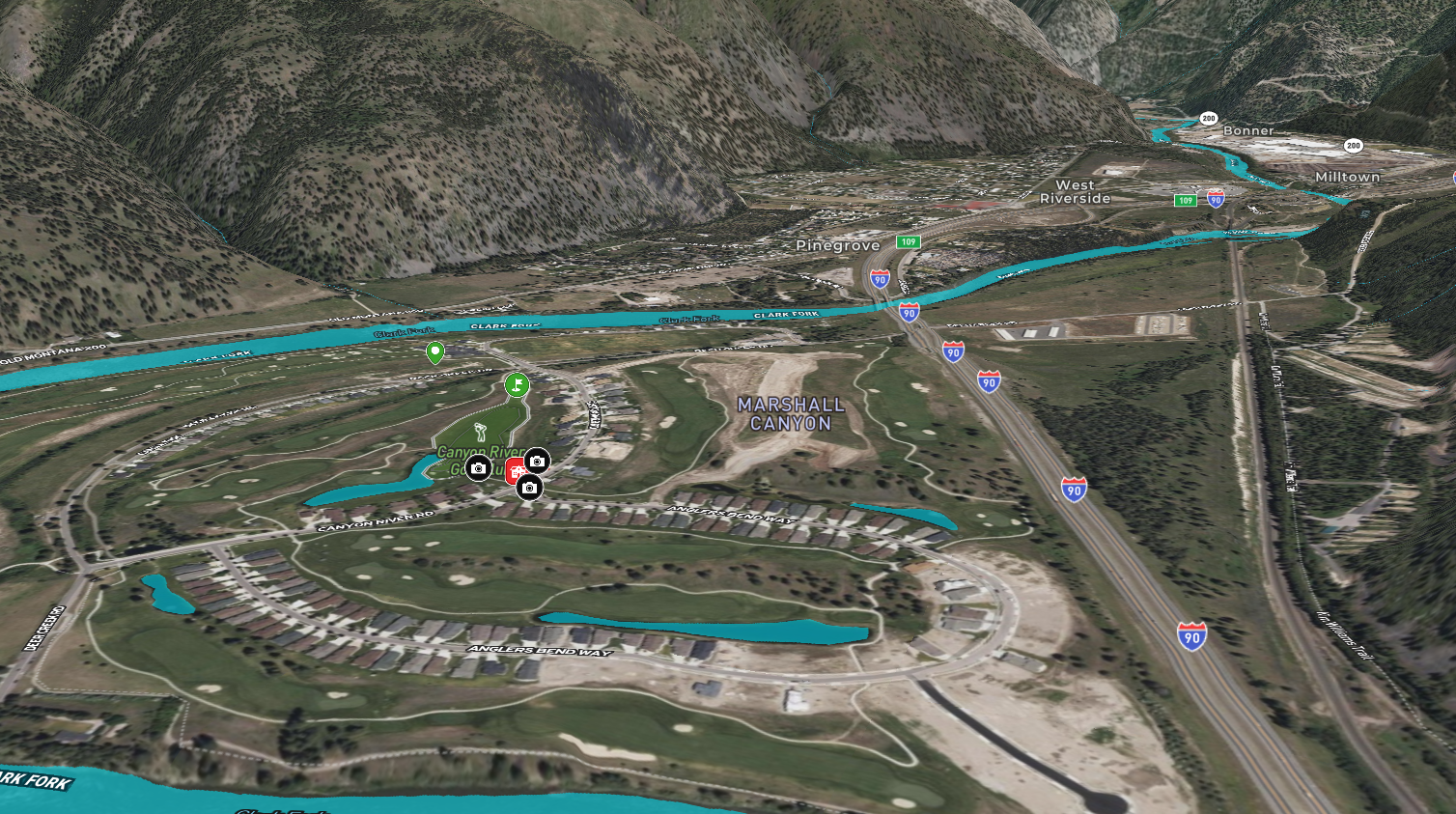
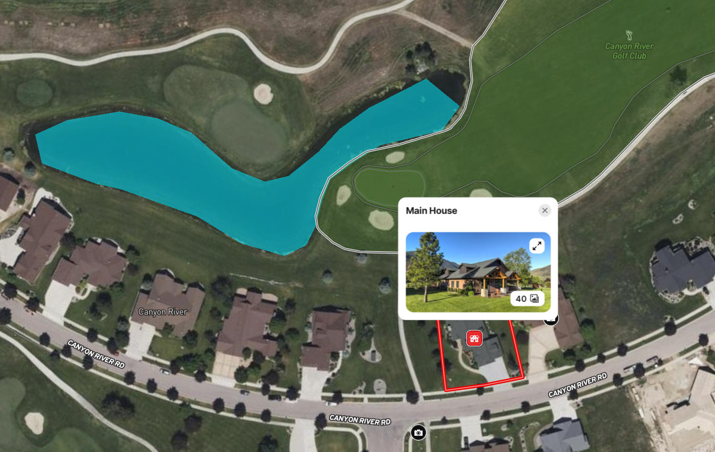
A listing description can say a golf-course home backs up to the 10th green, but it can't do justice to just how close the water features are, which windows catch the best mountain views, and where the lot actually sits relative to the fairway.
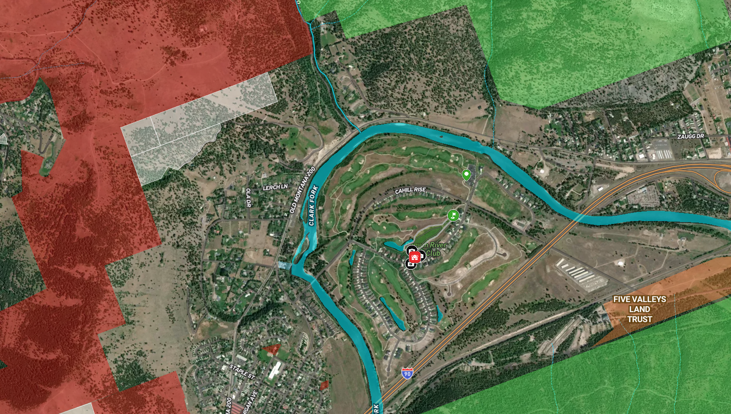
A Land id map can. This example shows a residential listing positioned against the course itself: the 10th green, the pond, and the mountains beyond, all in one view a buyer can orient to before they ever set foot on the property.
For golf course listings, the surrounding views and proximity to the course are often the deciding factor. Buyers aren't just buying a house; they're buying a specific relationship to the course, and that's easier to show than to tell.
Learn How to Create a Project Like This
- Land id for Residential Real Estate
- Create, Customize, and Publish a Virtual Property Tour
- Create detailed maps by adding items
- Add labels to maps and map items
- Embed photos, videos, 360-degree walkthroughs and more to maps
Take Your Mapping to the Next Level
Mapping is just the beginning. Land id is the #1 tool for researching, discovering, and showcasing land, and we're here to help you make the most of it, every step of the way.