

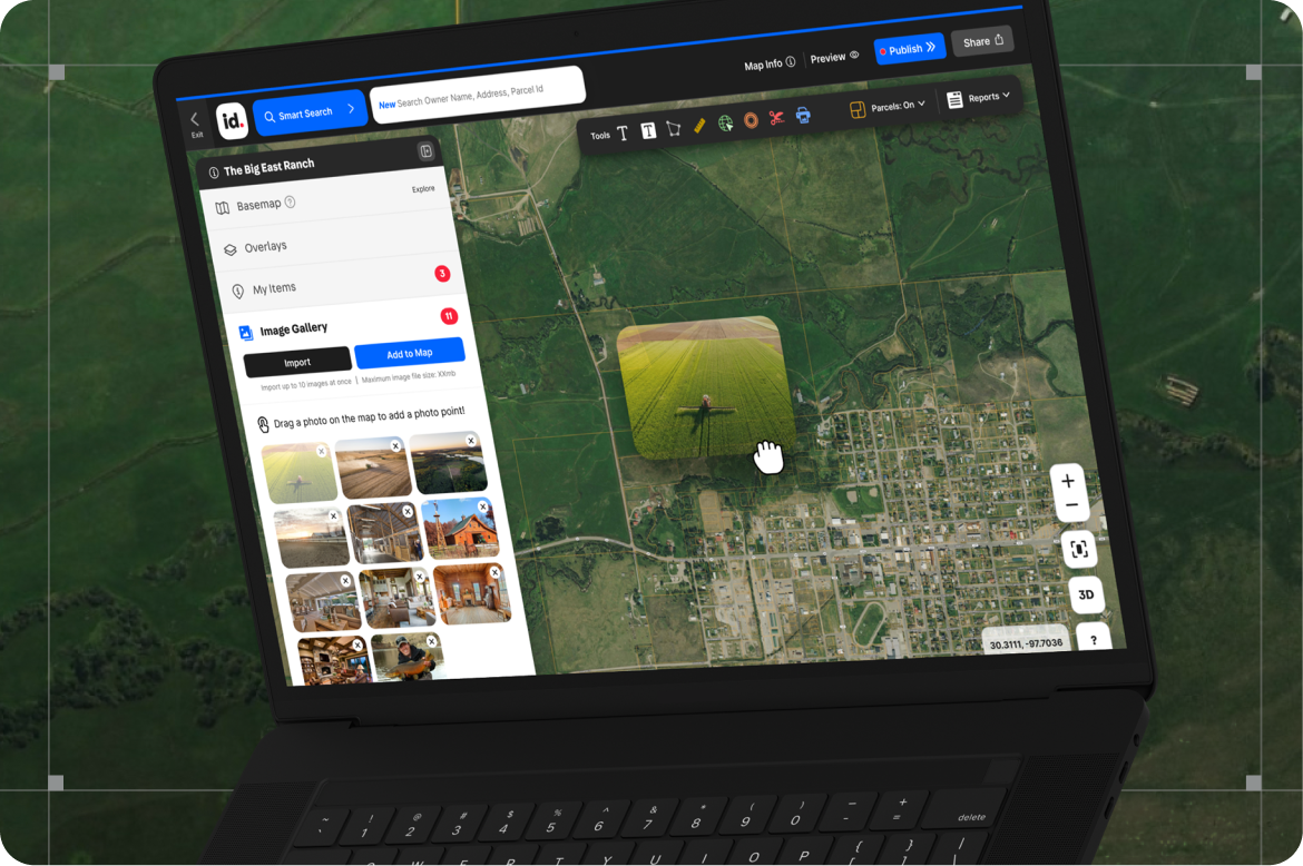
Image Gallery Updates
The easiest way yet to bring your maps to life.
- Bulk Photo Uploads – Drag in dozens of photos at once.
- Drag & Drop – Place photos directly on your map.
- All In One Place – All images linked to a map, now in one gallery.
- Same Everywhere – Same workflows on across all devices.
- Works Offline – Snap photos in the field; they’ll upload when you’re back online.
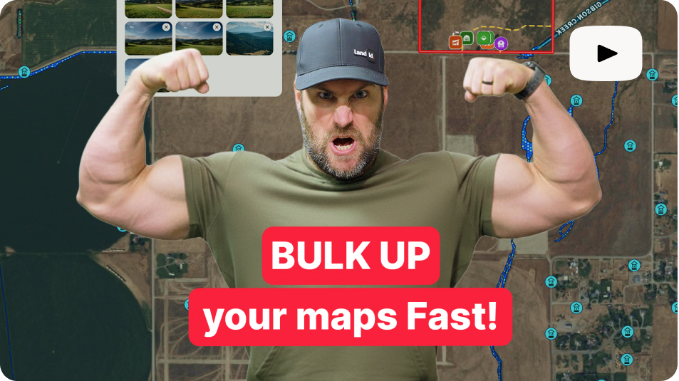
Got two minutes? Watch Taylor walk you through the latest and greatest image gallery features. Learn how to bulk up your maps fast and make them stand out.
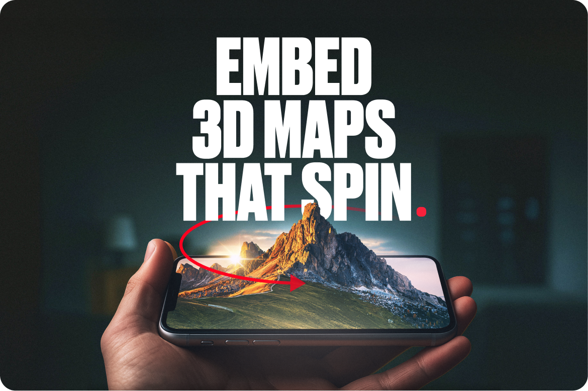
3D Maps
Skip the helicopter, keep the view. With 3D capabilities, your Land id maps become dynamic property showcases. No tech headaches. No complex setup. Just one click to take your presentations sky-high.
- Showcase slopes, contours, and boundaries in vivid detail.
- Keep viewers engaged longer with auto-spinning 3D views.
- Create unique presentations in under 2 minutes.
- Share immersive experiences that close deals faster.
- Stand out from competitors still using screenshots.
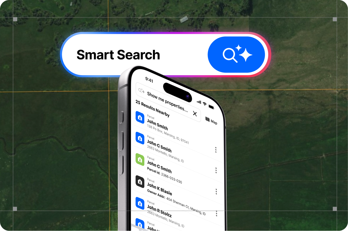
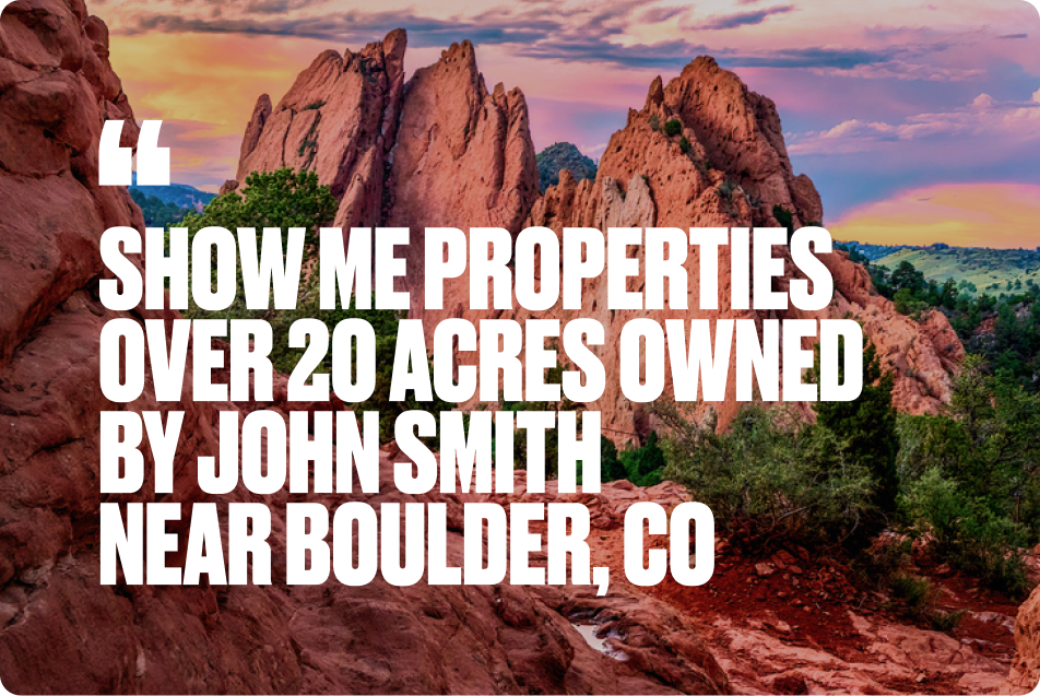
Searching Made Smart
Finding properties shouldn’t feel like decoding a database. With the new Smart Search, powered by AI, you can type exactly what you’re thinking and get instant results.
What makes it smart:
- Understands natural language searches
- Combines multiple criteria in one query
- Recognizes owners, acreage, features, and coordinates
- Works seamlessly on desktop and mobile
Example:
Old way: “John Smith, Boulder Colorado” → maybe 1 result
New Smart Search: “Show me properties over 20 acres owned by John Smith near Boulder” → every matching opportunity, instantly.
FAQs
Continue Reading
Craig Rowe
5 Real-World Land id Workflows Worth Borrowing
.png)
By Land id
See helpful examples of how real estate pros use Land id to win listings, market properties, plan developments, and make smarter data-driven decisions.
Alyssa Toohey
Off the Map & In Person: The Land id Team Gets Together

By Land id
The Land id team came together in Montana for collaboration, connection, Big Sky views, PBR, Yellowstone, and plenty of memorable moments.


Explore Private Parcel Data & Property Boundaries
Download the Land id app and try for free.
