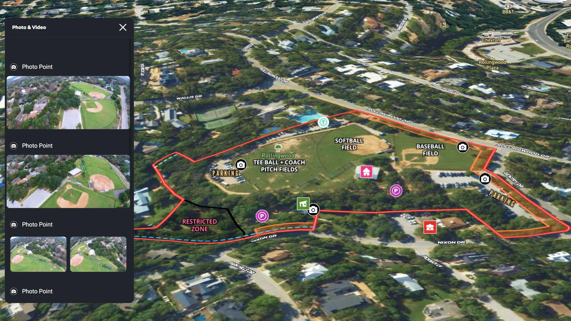
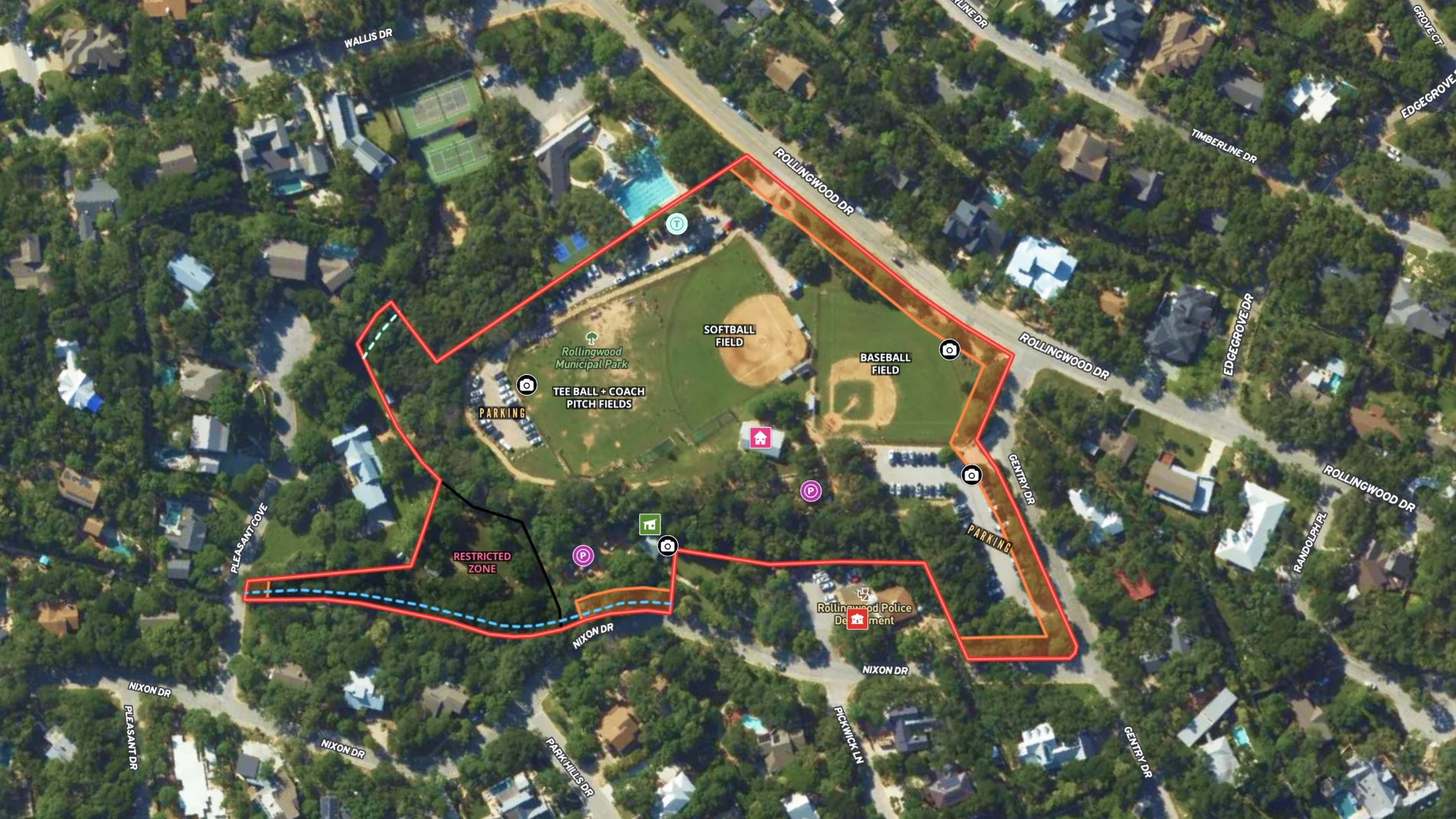
Local municipalities can easily and affordably create maps to help manage the city-owned properties.
This example of a city park map shows the fields, play structures and parking for citizens. It also notes restrictions--like building setbacks, water drainage-that other city entities can reference for any planned improvements.
Learn how to create a map like this:
- How to make maps in Land id™
- Draw detailed maps using the feature palette
- Add labels to maps and mapped features
- Create a buffer zone with the buffer tool
- Embed photos, videos, 360° walkthroughs and more onto your map
![](https://cdn.prod.website-files.com/63c95e5d2e1ac67354777789/66d9fa6cd56d8859d9fba159_6643c502433a245be84b0440_City%2520Park%2520in%2520Rollingwood%252C%2520Texas%2520-%252001.webp)
![](https://cdn.prod.website-files.com/63c95e5d2e1ac67354777789/66d9fa6cd56d8859d9fba1b3_6643c4fbd90560327f06645c_City%2520Park%2520in%2520Rollingwood%252C%2520Texas%2520-%252002.webp)
![](https://cdn.prod.website-files.com/63c95e5d2e1ac67354777789/66d9fa6cd56d8859d9fba1b6_6643c4f4c8b6428629f8e15f_City%2520Park%2520in%2520Rollingwood%252C%2520Texas%2520-%252003.webp)
![](https://cdn.prod.website-files.com/63c95e5d2e1ac62c14777764/63d810bc2bce520296b5db4f_Topo%20Lines.webp)
More Map Examples
Keep Exploring
Take Your Map Making to the Next Level
Want to know more?
All of Land id’s™ advanced mapping features is just the beginning. We want to see what you will do with the tools in each of our plans, and we are here to help you create dynamic maps for your team, every step of the way.
![](https://cdn.prod.website-files.com/63c95e5d2e1ac62c14777764/64146c39036e3571044bc389_Platforms%20Bacground%20Texture.webp)