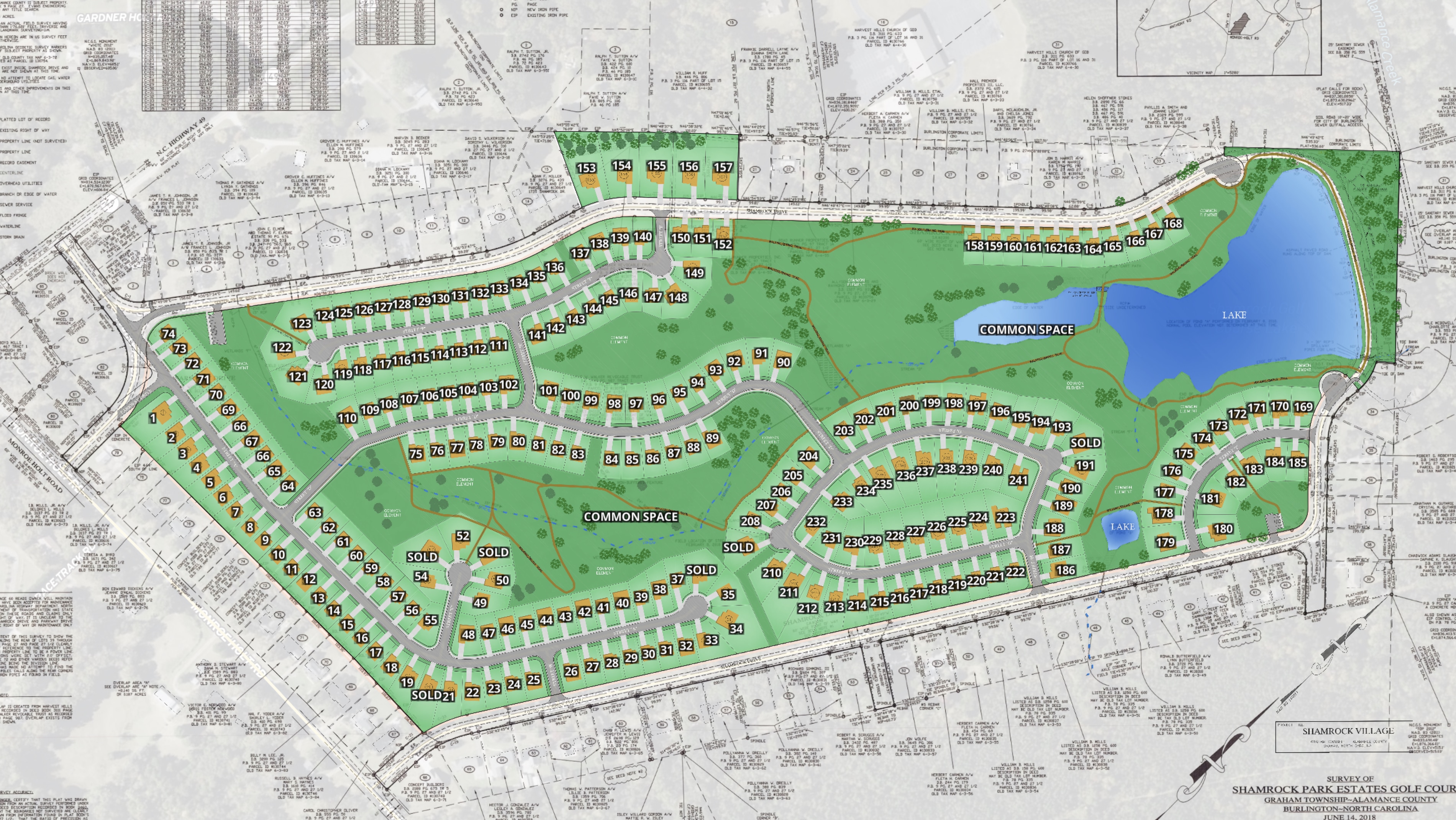
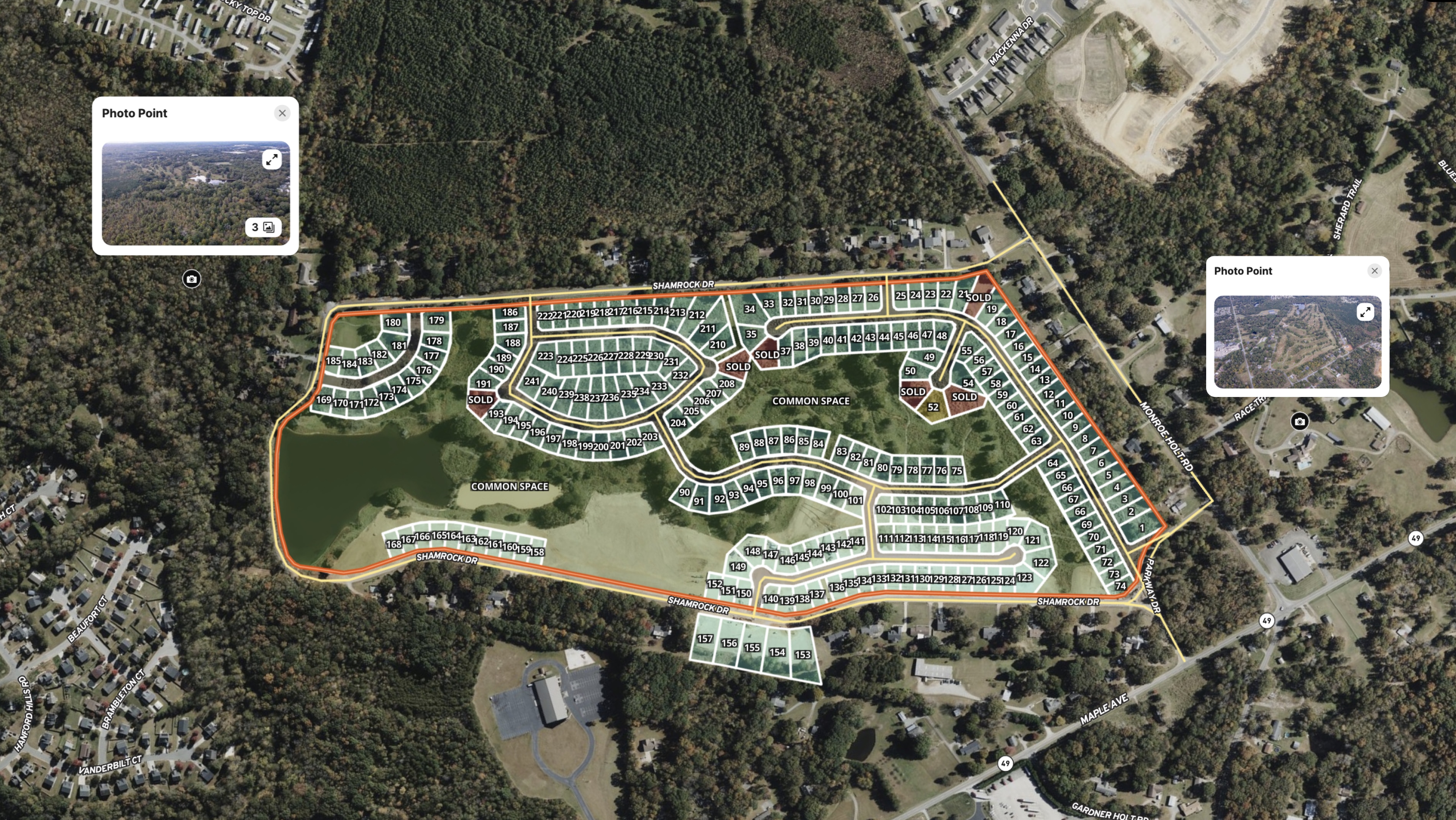
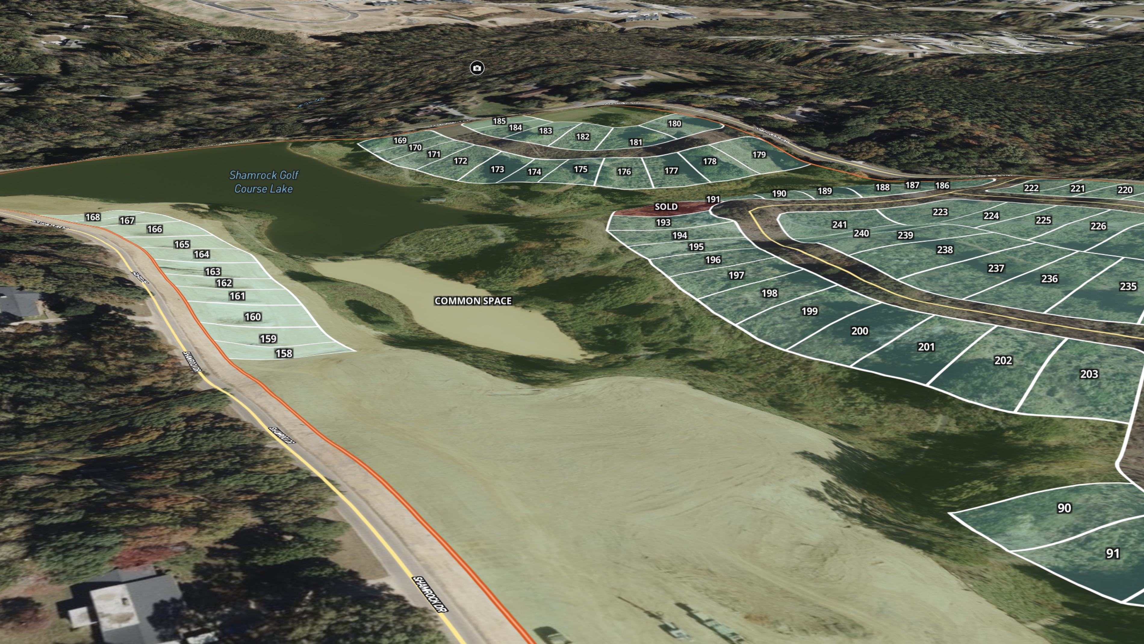
Shamrock Run Golf Course Development is a development project led by Paul Milam. This project transformed a financially failing golf course into a profitable project and a desirable neighborhood with over 240 lots, many of which border green space, plus walking paths and ponds.
Paul uses Land id throughout his process to find the right site. Specifically, he uses Land id’s property insights to qualify potential development properties and assess how topography, streams, wetlands, and access affect a property's viability.
This map shows how Land id can also market a new development and track the status of available lots, covering key parts of the real estate lifecycle.
Paul Milam is a nationally recognized real estate consultant with more than four decades of real estate experience in residential sales and marketing, as well as commercial sales and development of premier and residential communities.
After decades of success, Milam founded Samara Land Partners, which teaches agents, brokers, and developers how to turn raw land into builder-ready projects without developing them yourself. Samara Land Partners, an official partner of Land id, recommends Land id to all of their students.
Learn How to Create a Map Like This
- Land id for property developers
- Quick start: Create and share a map in Land id
- Draw detailed maps by adding items
- Import surveys and site plans with the Georeference Tool
- Embed photos, videos, 360° walkthroughs, and more onto your map
- Manage and visualize data with attributes
- Add labels to maps and mapped items
Take Your Mapping to the Next Level
Mapping is just the beginning. Land id is the #1 tool for researching, discovering, and showcasing land, and we're here to help you make the most of it, every step of the way.