AI Insights that deliver the right answers about any property nationwide.
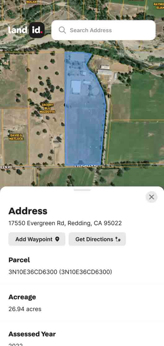
Get ownership data and parcel boundaries for any property in the U.S.
Create virtual property tours that help you market better and sell more.
Create, manage, and share maps to keep property projects moving forward.
Webinars, demos, and docs to get started with Land id fast.
Documentation for account support, product tutorials, billing, and more.
Hire a Land id pro mapper for any project, from ranches to data centers to stadiums.
Industry trends, product tips and tricks, and Land id company news.
See Land id maps and tours made by real users.
Unlock revenue for MLSs, realtor associations, brokerages, and software products.
By
By Land id
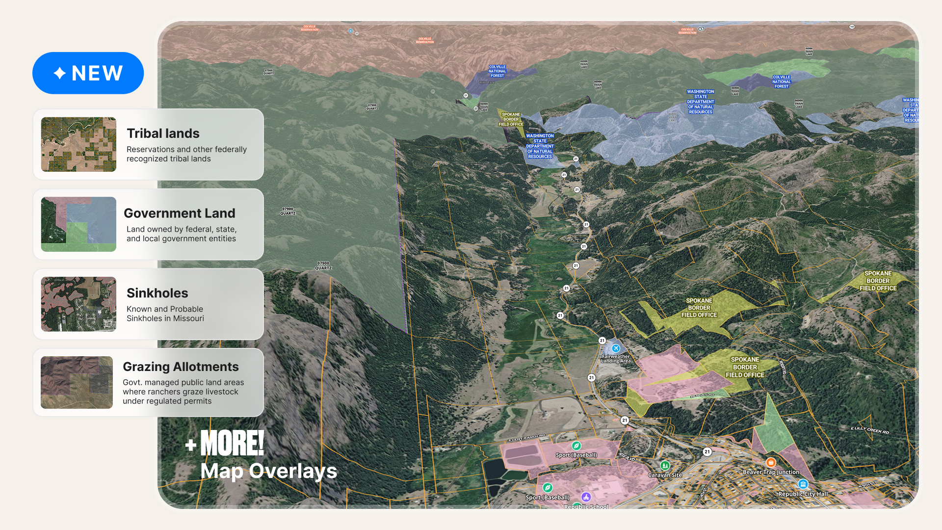
Explore cleaner public land boundaries, expanded grazing allotments, and improved property data in Land id to research properties with confidence.
News
Explore the Land Report 100 like never before with Land id's interactive maps.
The ultimate guide to understanding the key differences between raster vs. vector data and their practical applications in GIS to enhance your mapping projects.
Discover the top six ways to find out who owns a house, building, or piece of property.
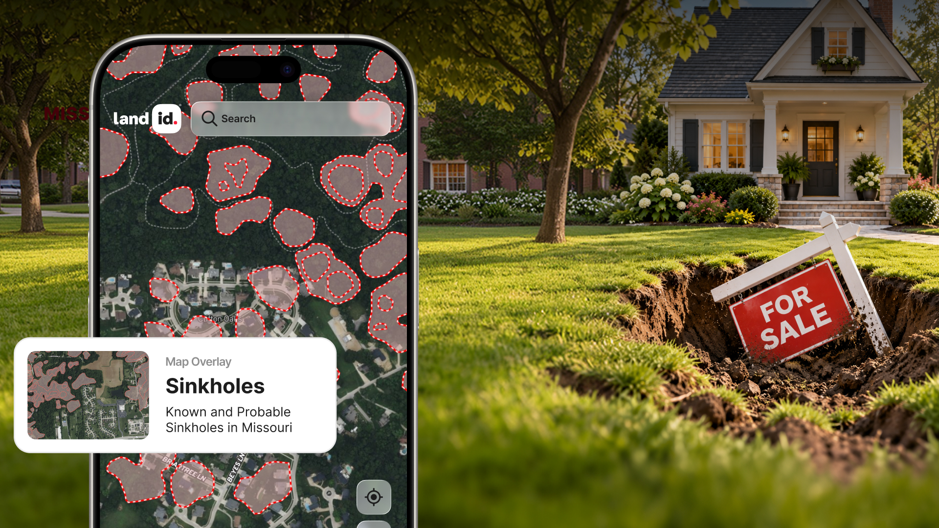
Missouri has approximately 16,000 documented sinkholes. Is one on or near a property you're considering?
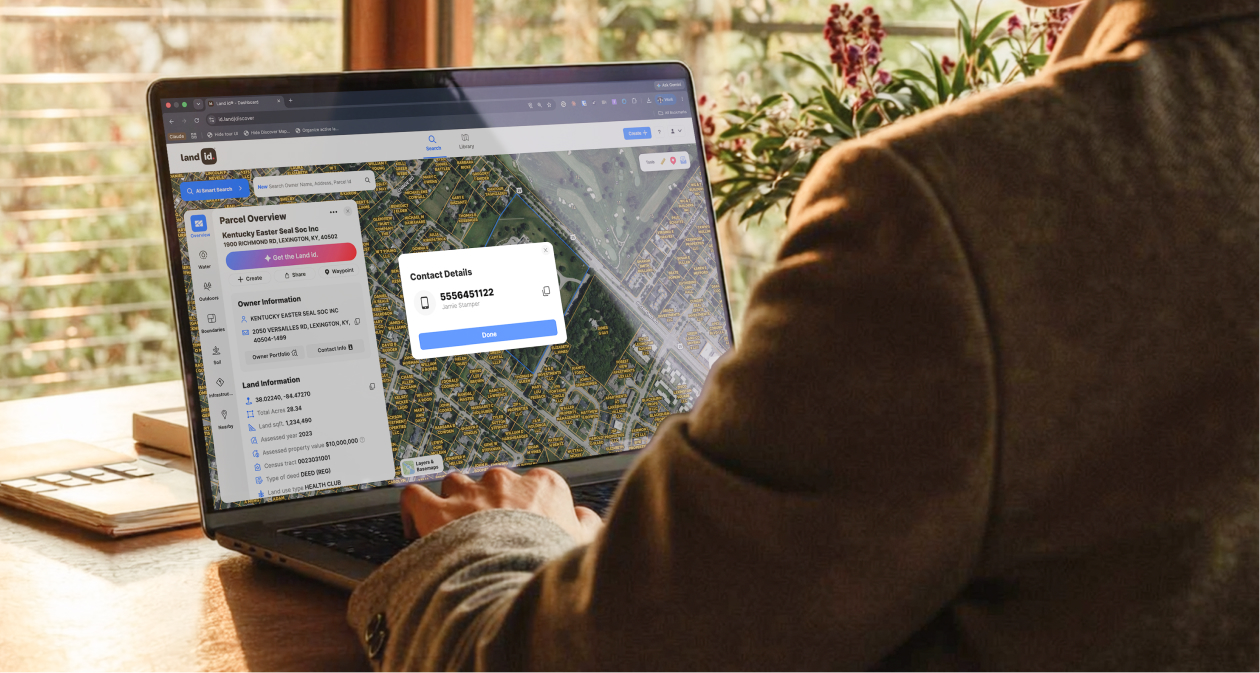
Cold outreach to property owners still works. Get the playbook on how to do it right, whether you're looking for listings, building a pipeline, or assembling sites for development.
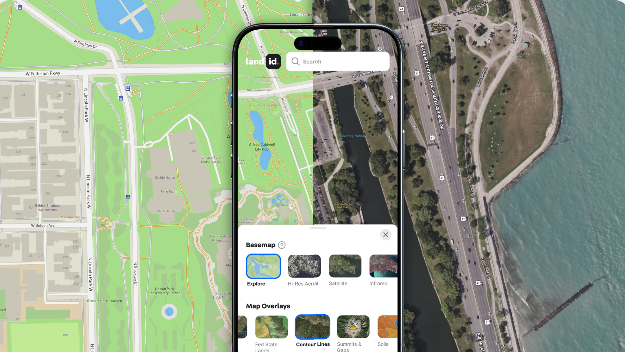
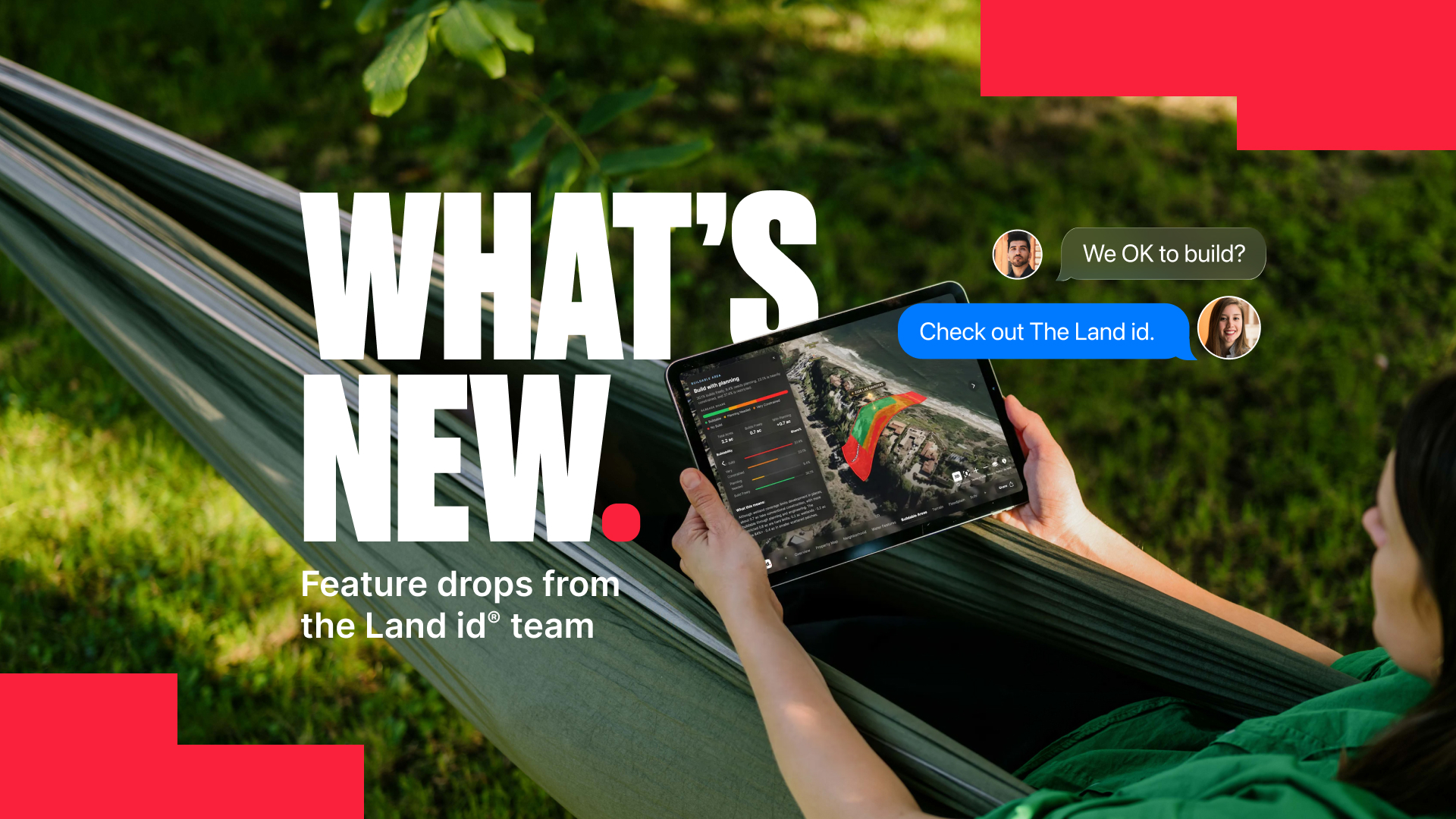
From contact info to AI-powered property insights to more tools on mobile, here's what's new in Land id—and how these updates make your work easier.
Sorry, we don't have any articles that match your search. Try resetting your filters.

Download the Land id app and try for free.