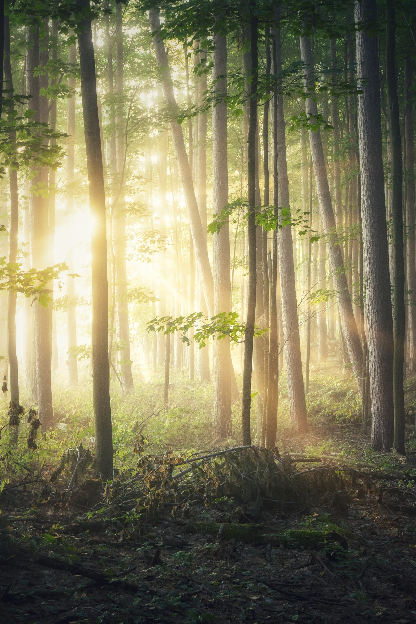
Thank you! Your submission has been received!
Oops! Something went wrong while submitting the form.

Latest

A Legacy Land Holding: Telluride Mesa Ranch

Land IdA Legacy Land Holding: Telluride Mesa Ranch

By

By Land id

Map creation
/
Oct 31, 2025

The M4 Ranch Group used Land id to map out the Telluride Mesa Ranch: a rare 2,080± deeded acre offering located just 45± minutes from Telluride Mountain Village.

Field Mapping Agriculture Practices With GIS

Land IdField Mapping Agriculture Practices With GIS

By

By Land id

Nov 10, 2020

What will the future of agriculture look like?

Field Mapping Agriculture

A Tale of Two Feet

Land IdA Tale of Two Feet

By

By Land id

Nov 10, 2020

If you’ve ever worked in engineering, construction or land surveying, you might have run across a very frustrating and confusing problem: the lack of a standardized measurement for the foot.

A person walking through trees with shoes and jeans

Bring Legal Descriptions to Life With a Metes and Bounds Plotter

Land IdBring Legal Descriptions to Life With a Metes and Bounds Plotter

By

By Land id

Nov 10, 2020

The metes and bounds system is nearly as old as land ownership itself, with evidence of it existing from as far back as Ptolemaic Egypt and the Roman Republic.

Open road leading to homes

Prepare Your Land for Wildfire

Land IdPrepare Your Land for Wildfire

By

By Land id

Jul 30, 2020

In the western United States, summertime always means one thing: wildfires.

Image of a wildfire

Understanding the Barriers to a Digital Land Parcel Map

Land IdUnderstanding the Barriers to a Digital Land Parcel Map

By

By Land id

Jul 28, 2020

Owning land in the United States is at the center of financial, legal and real estate systems in our society.

Bird view of a neighborhood

Property Mapping Methods and Tools of the Trade

Land IdProperty Mapping Methods and Tools of the Trade

By

By Land id

Jul 13, 2020

We’ve been using maps to better understand our world for millennia, and from the very beginning, the goal of cartographers has been to represent the data as clearly as possible.

Aerial open field

No results

Sorry, we don't have any articles that match your search. Try resetting your filters.

Explore Private Parcel Data & Property Boundaries

Download the Land id app & try for free

Download on the Apple App StoreGet it on Google Play