Latest
The Fiber Optic Layer: Find Your Property's Internet Providers
By
By Land id
You're staring at two identical properties. Same price. Same size. Same location. But one has blazing-fast fiber internet. The other? Dial-up speeds that make loading emails feel like watching paint dry... Which property wins?
No results
Sorry, we don't have any articles that match your search. Try resetting your filters.
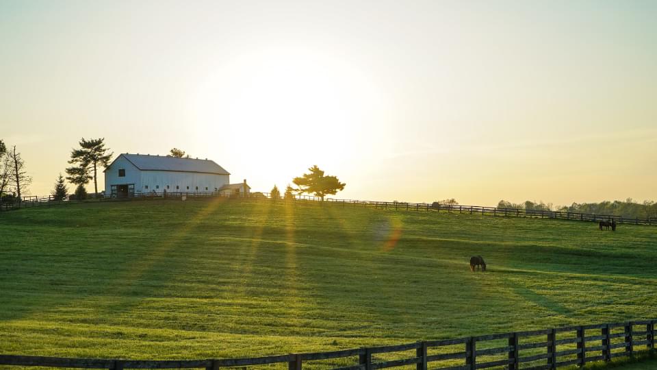
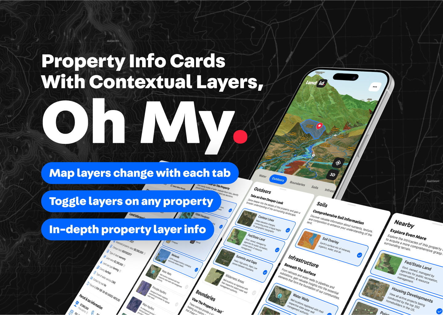
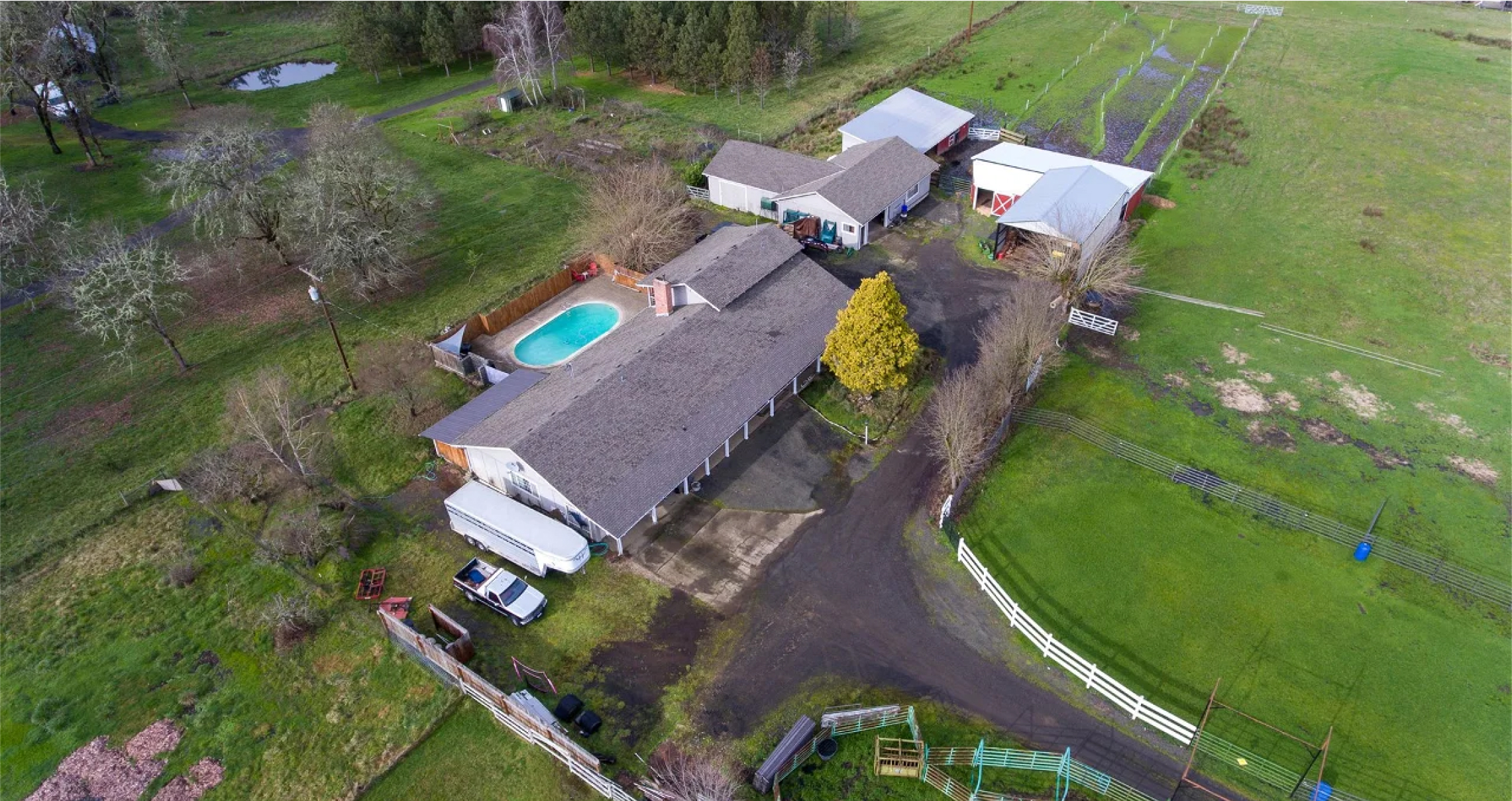
A Perfect Pair: GIS And IoT
By
By Land id
You probably don’t give IoT sensors a lot of thought, but they’re all around us every day. Your car is full of them—telling you what the temperature outside is, when you're running low on gas, if you’re about to back into another vehicle, if you have low tire pressure; the list goes on. Even when you aren’t near your car, you’re still carrying around sensors inside your smartphone, such as a magnetometer (which tells the phone which way is north like a compass would) and a gyroscope (which tells the phone which way it’s oriented).
Finding The Ideal Location With Geospatial Technology
By
By Land id
The area a home is located in determines a great deal for the people living there: where their kids can go to school, how long their commute is, what they do for entertainment… It’s no wonder that a 600 sq/ft. studio apartment in SoHo, New York can cost more than a 6-bedroom house in rural Indiana.
The Cartography Tools Of Our Past
By
By Land id
Whether it be studying the world’s geography, getting directions to the supermarket, or checking the elevation of a hike, we use maps on a daily basis – often, without even realizing it. Due to their ubiquity, we don’t tend to give a second thought to using maps, but a lot goes into creating these visual depictions of the world around us.
Raster vs Vector Data: The Ultimate Guide
By
By Land id
Without data, there would be no reason for GIS to exist; the whole point of GIS is to create, manage, analyze, and map data. However, a lot of programs deal with data. What makes GIS so interesting is that it can handle both attribute data, which describes the characteristics of a feature, and geospatial data, which describes the absolute and relative location of a feature.
What Is A Survey Plan, And How Are They Used?
By
By Land id
Are you considering buying or developing land? Are you a property owner looking to settle a land dispute? If so, you're probably looking at investing in a survey plan. For real estate investors, land developers, and property owners alike, having a land survey is essential since, without them, we wouldn't know where one piece of land ends, and another begins.
The Past, Present, And Future Of GIS
By
By Land id
Geographic Information Systems (GIS) are computer systems for capturing, storing, analyzing, and managing data and associated attributes spatially referenced to the earth. In other words, a GIS lets us visualize data on a map. Since it was first created in the late 1960s, GIS technology has grown exponentially. Today, there are many applications of GIS beyond what it was initially developed for, with GIS being used across industries, from real estate to agriculture. As it becomes increasingly accessible to businesses, both big and small, and more precise through rapid advancements in technology, the future of GIS is bright.